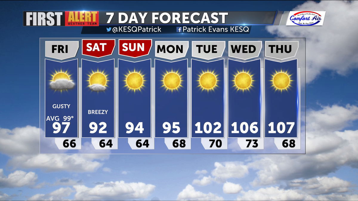
A Cooler, Gusty Forecast Arrives for the Weekend
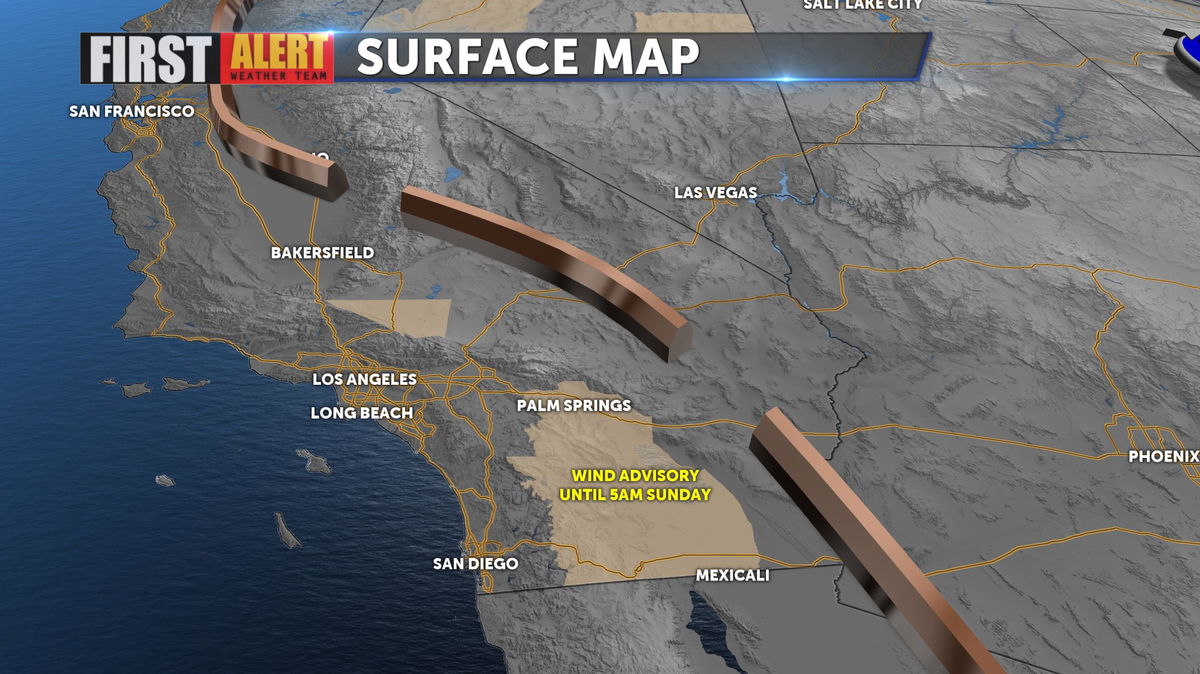
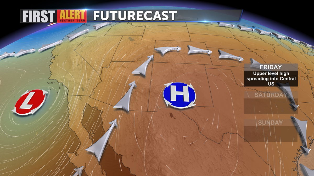
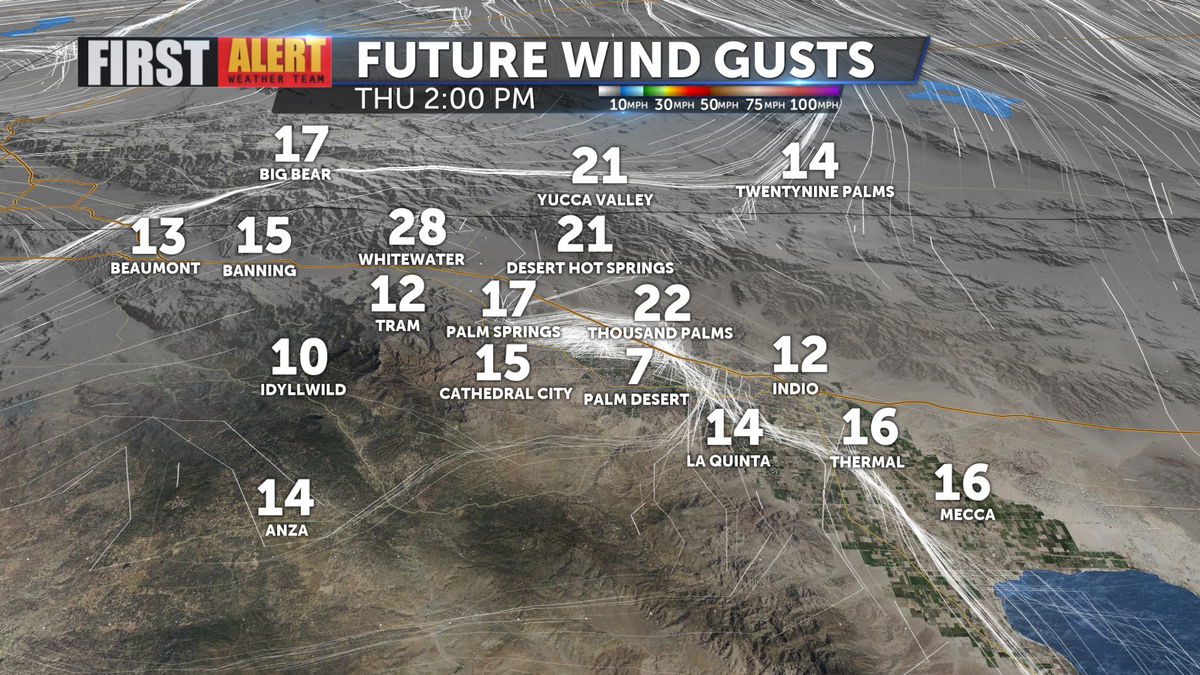
And area of low pressure arrives, bringing moderately gusty winds (particularly for the evening hours) as we head into the weekend, but it is also dropping daytime highs by 15 degrees! There is also now a Wind Advisory in effect through Sunday morning.
The low pressure cell will circulate through over the weekend with the coolest days being Saturday and Sunday, as triple digits return early next week.
Winds will reach 20 to 25 mph on the Valley floor, with gustier winds North of the Freeway and through the Banning/Beaumont Pass.
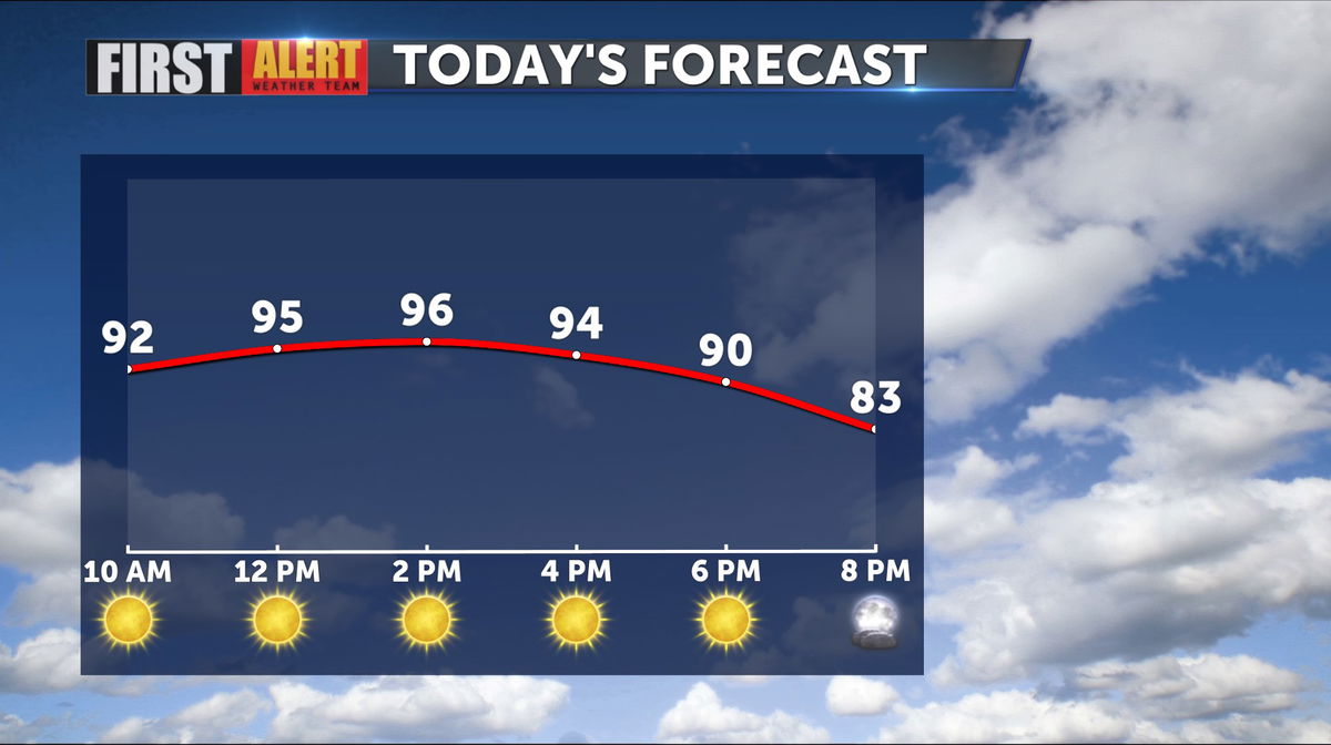
Yesterday we hit 110 degrees for the high, but today we should be in the nineties.
Over the weekend the temps look great, even the overnight lows dropping off beautifully. We return to warmer numbers next week.