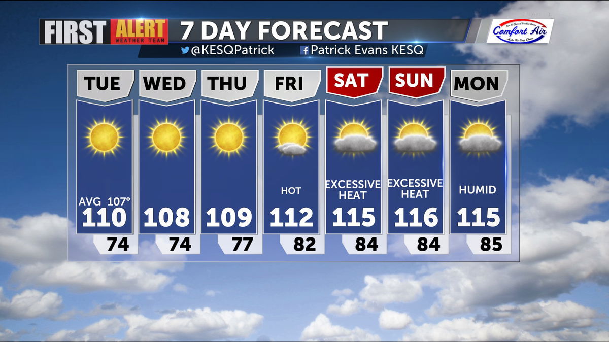
A Brief Reprieve from the Heat
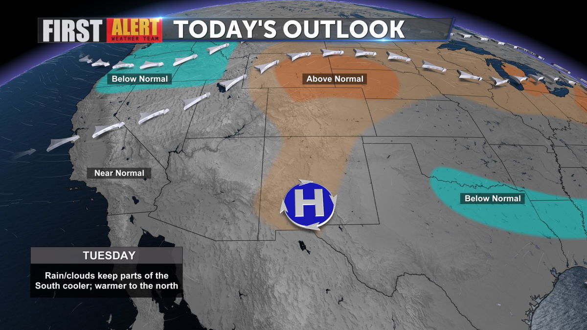
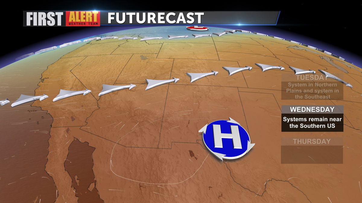
High temperatures are trending downward after hitting 115 on Sunday. Yesterday, we topped out at 113, and today will be slightly cooler as high pressure retreats to the East.
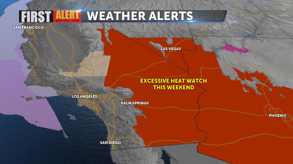
Despite the lower numbers expected today through midweek, an Excessive Heat Watch (likely to become an Excessive Heat Warning) has been issued for the weekend, with highs expected to exceed 11 for the first time this year.
Another factor that could come into play next week, Tropical Storm Cristina, now off the coast of Southern Mexico, may become a hurricane, and move farther North, potentially sliding monsoonal moisture into the region.
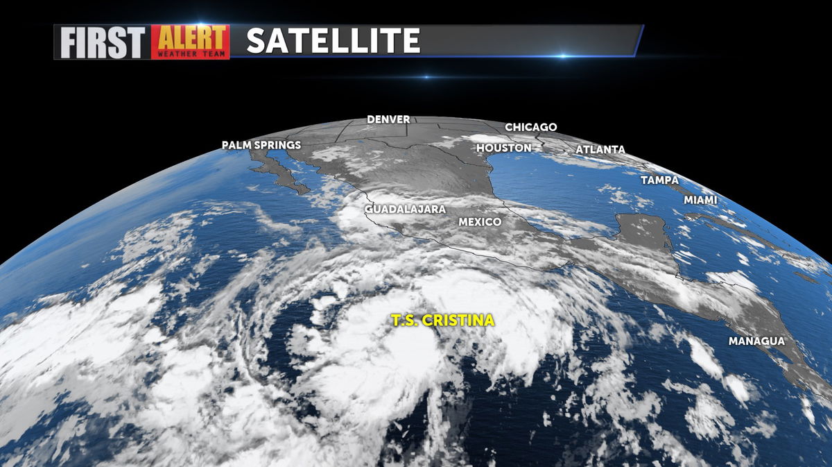
It is likely that the broad ridge of high pressure will prevent much in the way of that moisture moving into Southern California, but it is still something to keep an eye on through the weekend.
After a brief lull in days above 110, Friday begins a warming trend that will see highs soar to 116 or better.