Thunderstorm chances continue for the mountains and deserts
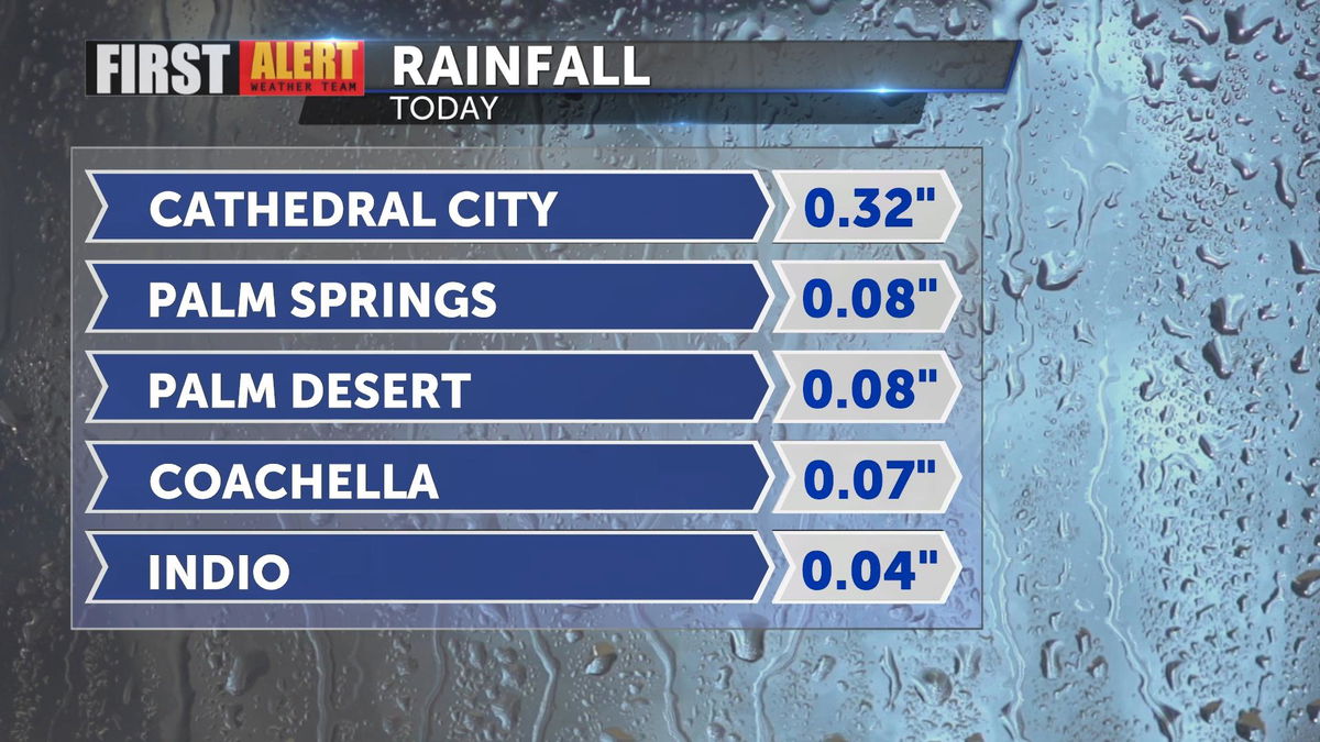
Thunderstorms were tracked Sunday morning through the Coachella Valley and surrounding mountains. As of early Sunday, most valley locations have seen just below 0.10". Cathedral City recorded more at 0.32". The last time Palm Springs recorded measurable rainfall was June 23 of 0.03".

Monsoonal moisture is pulling in from the south with a ridge of high pressure centered near the four corners. By Sunday afternoon, more chances for thunderstorms will be present for the desert and mountain communities.

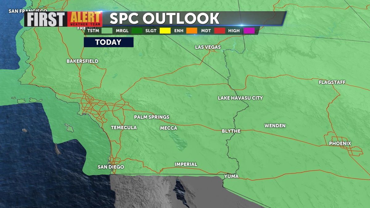
The Storm Prediction Center showing a generic thunderstorm risk. No severe weather potential. With these storms, flash flooding will be possible. Remember two key phrases, "Turn around, don't drown" AND "When thunder roars, head indoors."

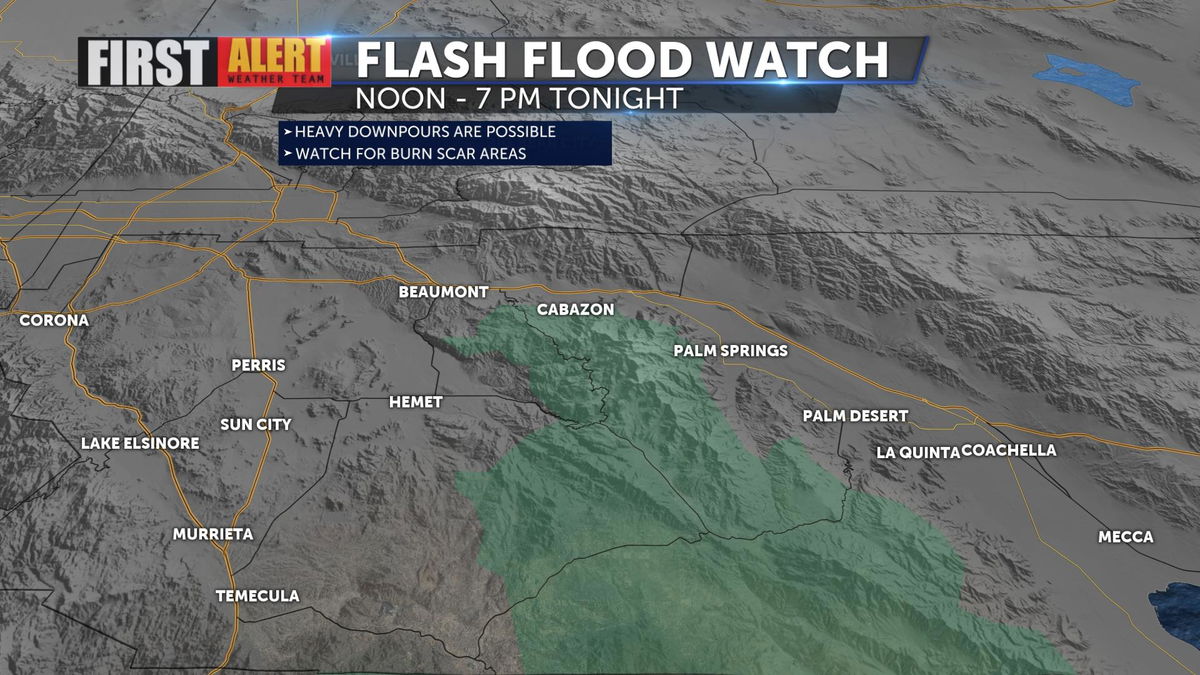
A Flash Flood Watch is in effect from noon to 7 p.m. Sunday. Monsoonal moisture mixed with daytime heating will lead to thunderstorm potential for the afternoons. Heavy downpours will be possible. Use caution near previously burned areas where debris flow is possible.

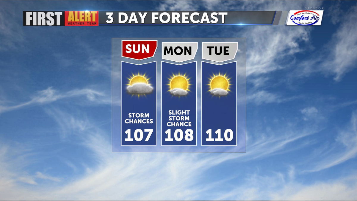
The average high temperature for this time of year is 109°. Highs will be close to that average throughout the week.
Download the 'KESQ First Alert' Weather App to be sure you have the latest forecast information to keep you and your family safe. It's FREE! Click here.

