Heating up again to start the week
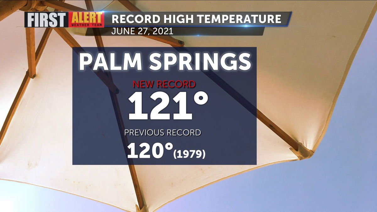
Yesterday's record setting 121 degree high won't be repeated today in all likelihood, but it will be another scorcher.
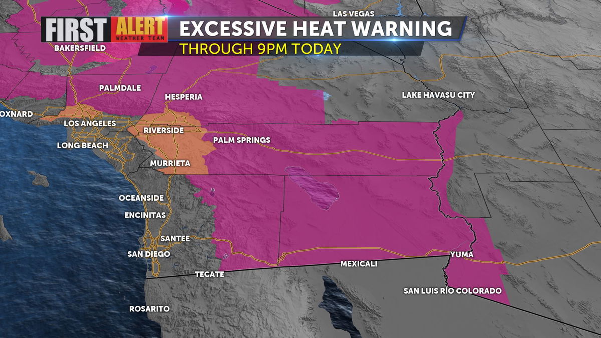
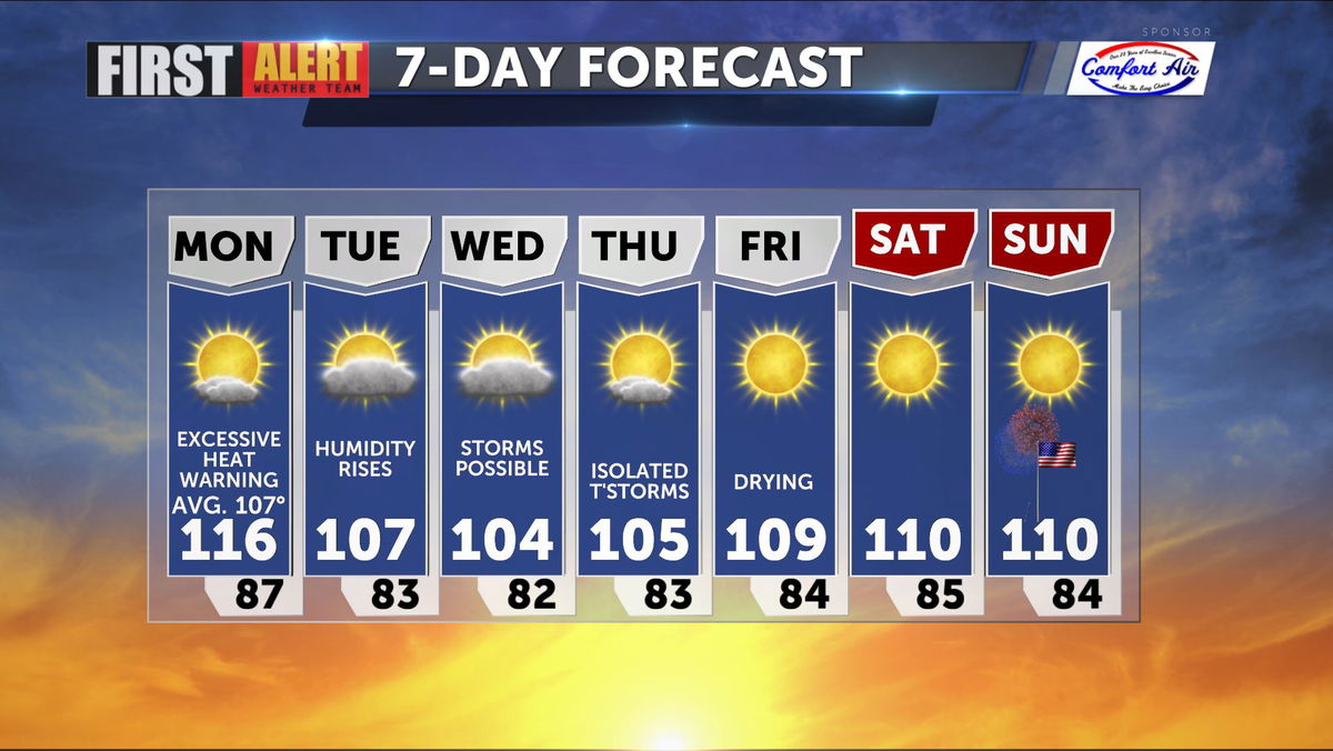
We remain under an Excessive Heat Warning through 9 p.m. as highs soar into the one-teens today. The Pacific NW also is strained under a withering heatwave to our North as well.
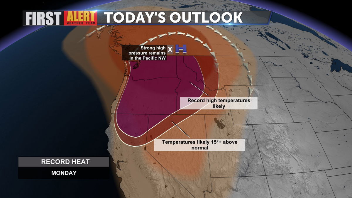
The ridge of high pressure is pushing highs to all time records across the Pacific NW through today and into tomorrow.
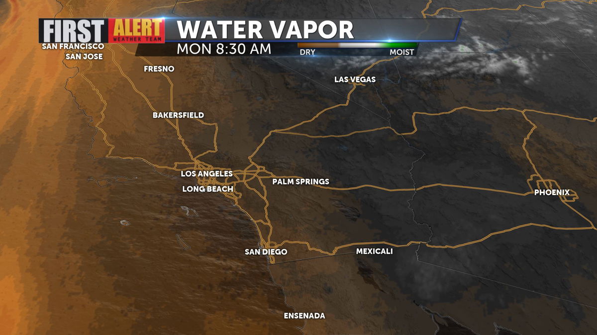
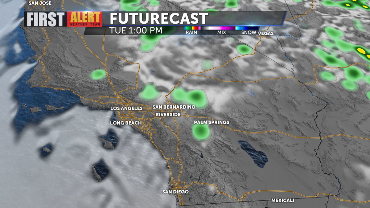
For us, the heat will abate somewhat by tomorrow as moisture moves in from the East, making it cooler, but more uncomfortable with higher dew points and humidity values expected much of the rest of the week.
There is even the slight (30%) chance of thunderstorms as a result of that humidity.
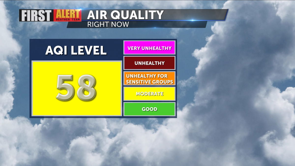
Air quality has suffered under the high pressure ridge, falling into the moderate range as of this morning.
A chance of storms lingers each afternoon and evening through Thursday. We dry out Friday, and the Independence Day weekend looks seasonally hot but far less humid!
Stay up to date with the latest forecasts on the KESQ First Alert mobile app, designed just for you!
