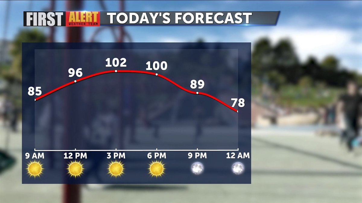
More triple digits expected today
Highs topped out at 101 yesterday, and we're likely to meet or exceed that number later this afternoon.
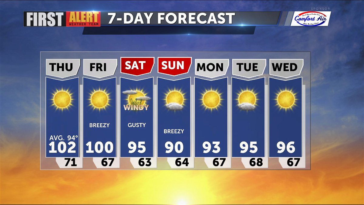
Above average (94) highs remain in place across the desert, and all of California through tomorrow before some gusty winds return to help lower those temperatures.
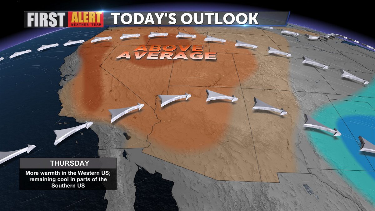
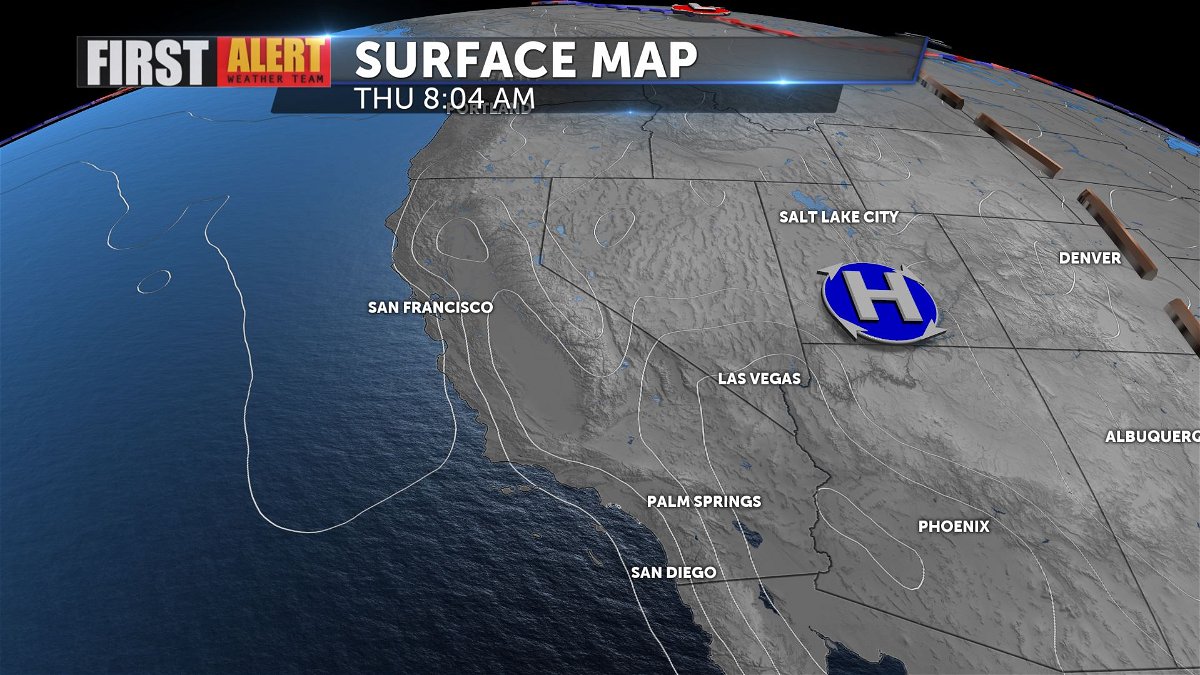
The ridge of high pressure over the Western states will begin to break down and move farther east as a trough lowers into California from the Pac NW.
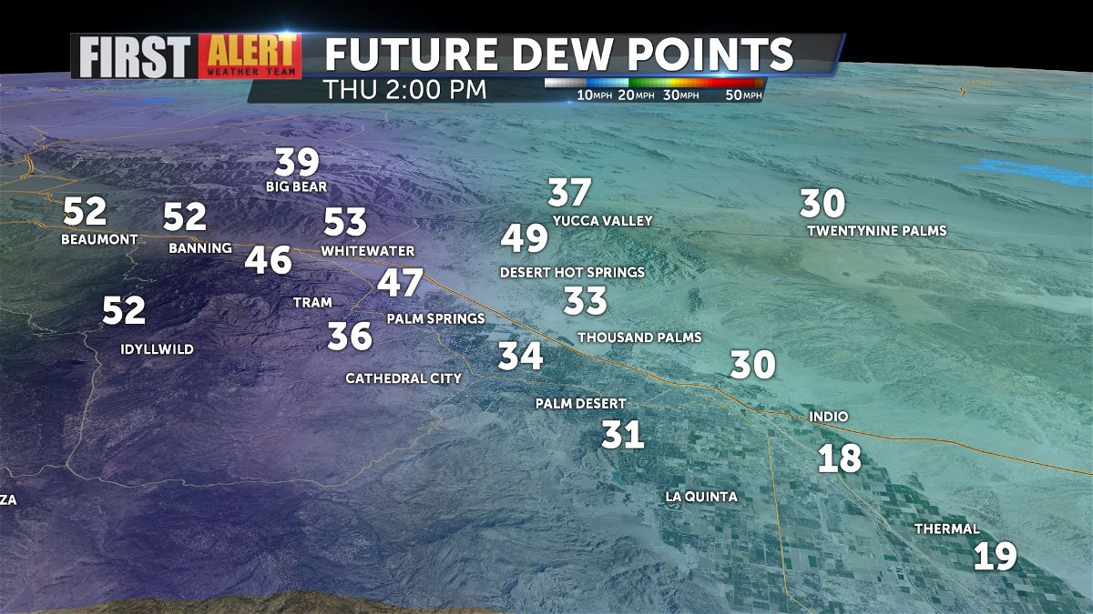
You may notice dew points were up in the morning hours, but should dry to reasonable levels by mid-afternoon.
Highs drop into the middle 90s by Saturday with gusty conditions, but even lower on Sunday. Next week expect near seasonal daytime highs.