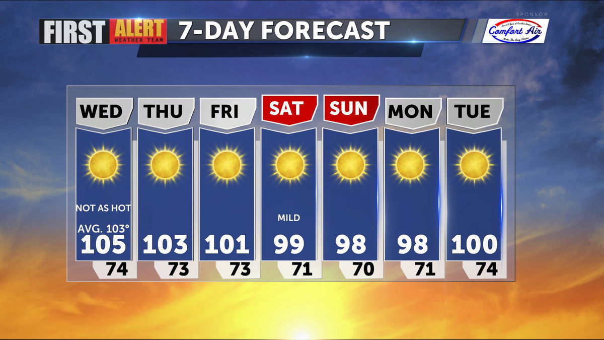
Cooling trend kicks into gear
A very stable and comfortable weather pattern has emerged over the Western States moving toward week's end.
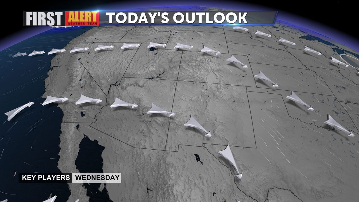
The ridge of high pressure is both drier and cooler than we saw last week or over the weekend.
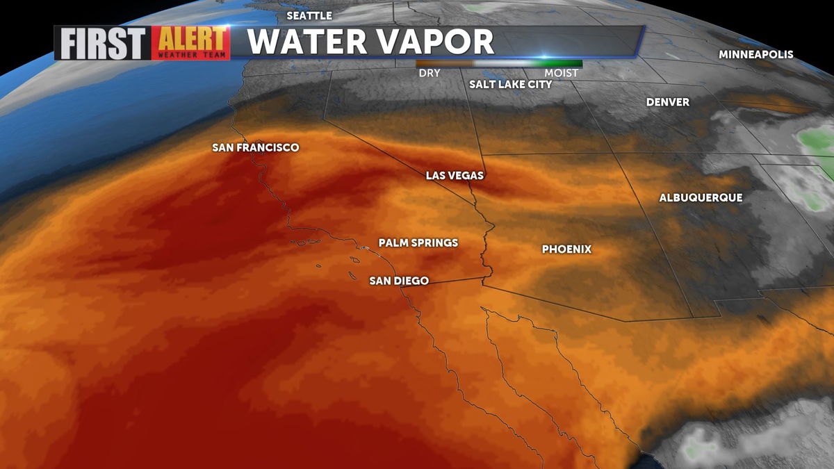
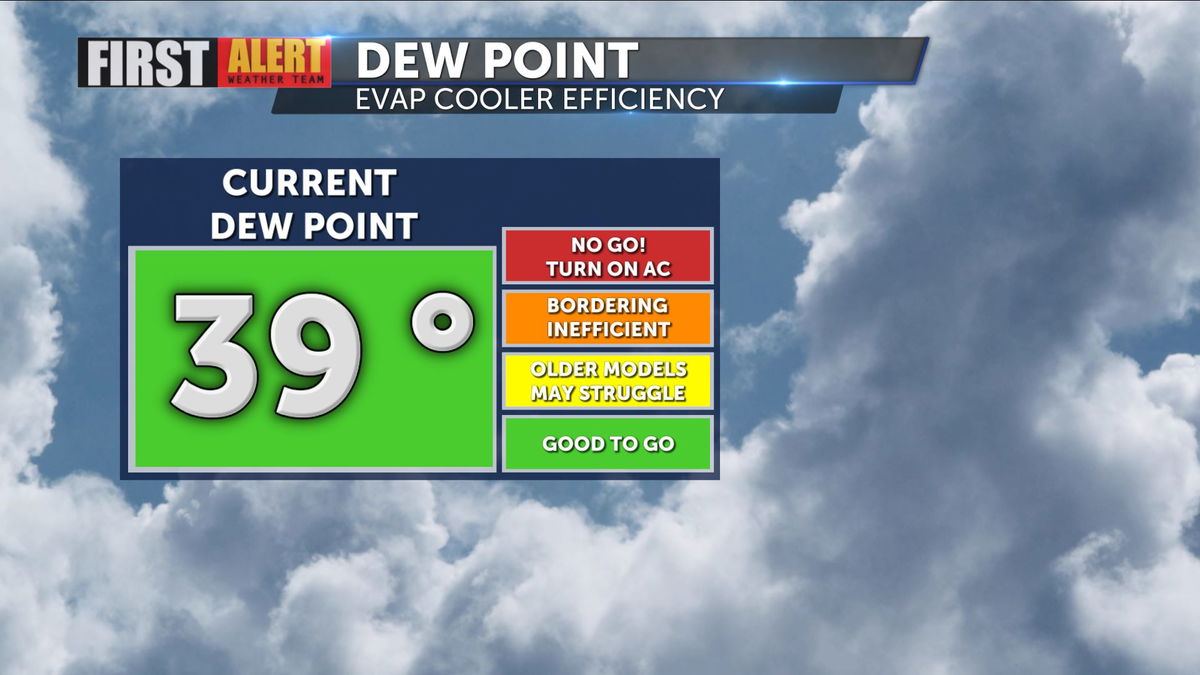
Morning dew points were very comfortable, in the 30s and 40s, and will dry out considerably from there. Fire danger increases as the air dries out.
This afternoon and for the rest of the week dew points will fall into the teens and twenties each afternoon.

A strong trough our North will bring even cooler conditions into play by the weekend, with highs falling well below seasonal average through Monday.