
FEMA ranks Riverside County among riskiest in the U.S. for natural disasters
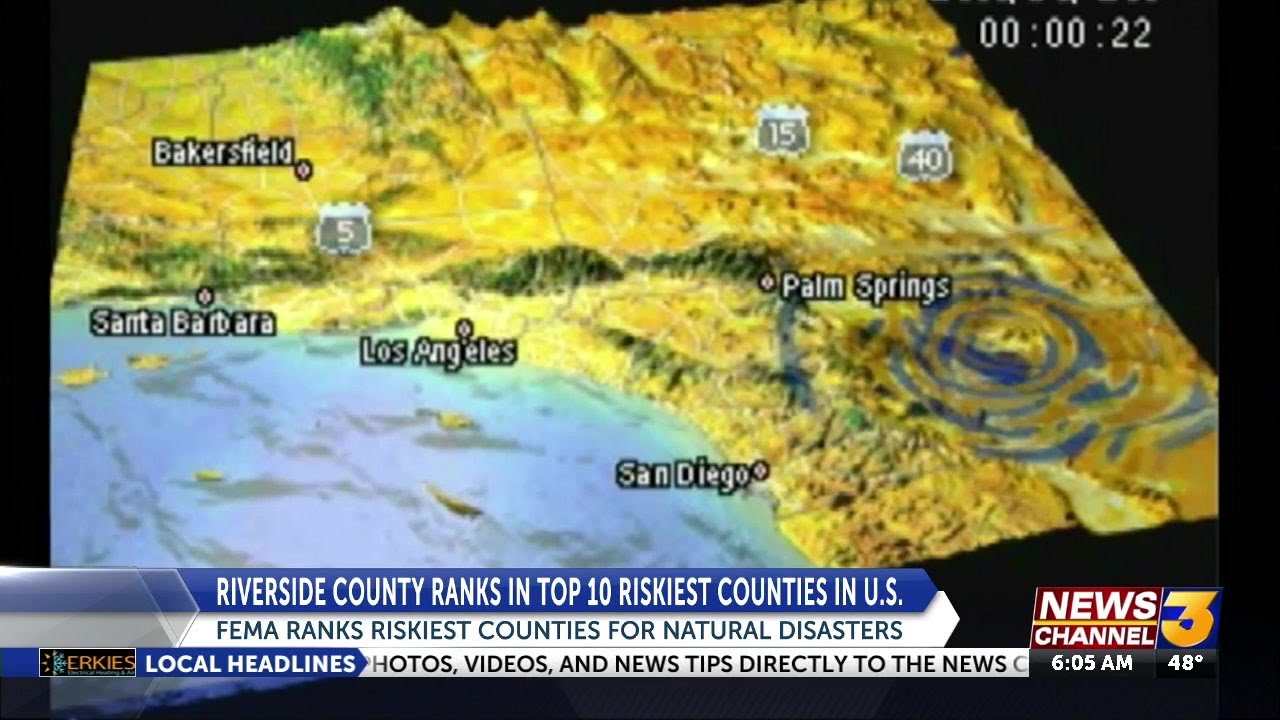
Riverside County has landed in the top 10 of an unenviable list -- the Federal Emergency Management Agency's (FEMA) rankings of the riskiest counties in America.
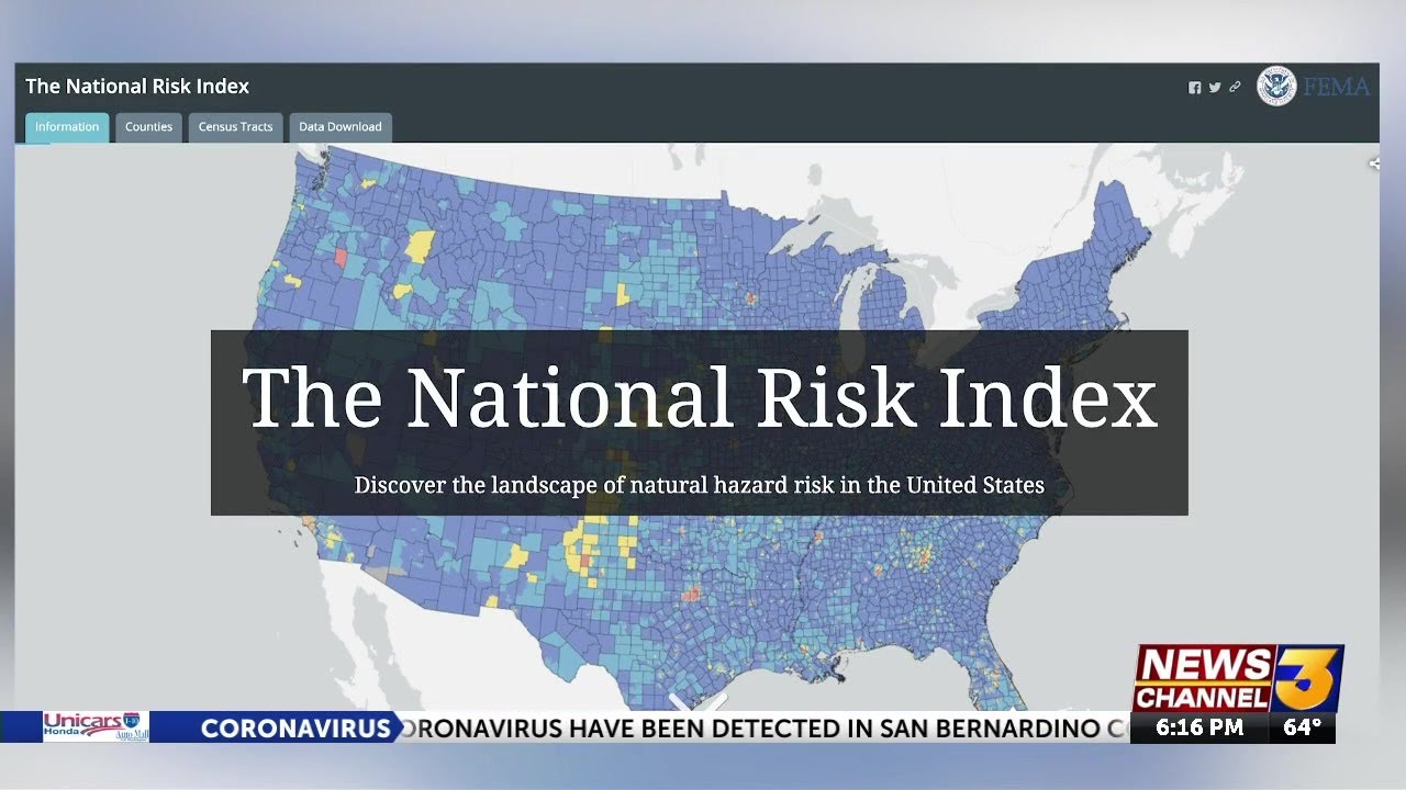
The agency has published its first National Risk Index, which ranks all 3,006 counties in the United States based on their vulnerability to 18 kinds of natural disasters, from earthquakes, hurricanes, wildfires and tornadoes to floods, volcanoes and tsunamis.
Riverside County was ranked ninth riskiest, followed by San Bernardino County. Los Angeles County was No. 1 on the list. The rest of the top 10 -- or bottom 10, if you will -- were Bronx, Manhattan, Brooklyn, Miami, Philadelphia, Dallas and St. Louis.
FEMA officials began work on the index in 2016. It is intended to help planners and emergency managers at the local, regional, state, and federal levels in updating their emergency operations plans, prioritize and allocate resources, educate homeowners and renters and encourage community-level risk communication and engagement.
The rankings do not necessarily mean that Inland Empire residents are more likely than others to fall victim to a natural disaster. A central component of the index was Expected Annual Loss, which quantifies the anticipated economic damage resulting from natural hazards each year.
The data also take into account social vulnerability, which is broadly defined as the susceptibility of social groups to the adverse impacts of natural hazards, including disproportionate death, injury, loss, or disruption of livelihood.
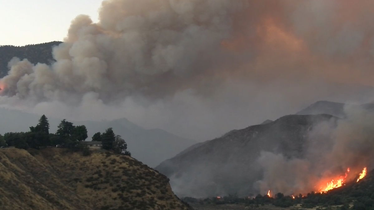
The 18 natural hazards included in the index were: avalanche, coastal flooding, cold wave, drought, earthquake, hail, heat wave, hurricane, ice storm, landslide, lightning, riverine flooding, strong wind, tornado, tsunami, volcanic activity, wildfire, and winter weather. The "safest" county was Loudoun County, a suburb of Washington, D.C.
Three other Washington suburban counties ranked among the lowest risks for larger counties, along with suburban counties near Boston, Long Island, Detroit and Pittsburgh.
For more, see www.fema.gov/flood-maps/products-tools/national-risk-index.