Expect another warm day before winds cool us down
We hit 100 degrees yesterday for the first time since October! We'll be back in the upper 90s this afternoon.

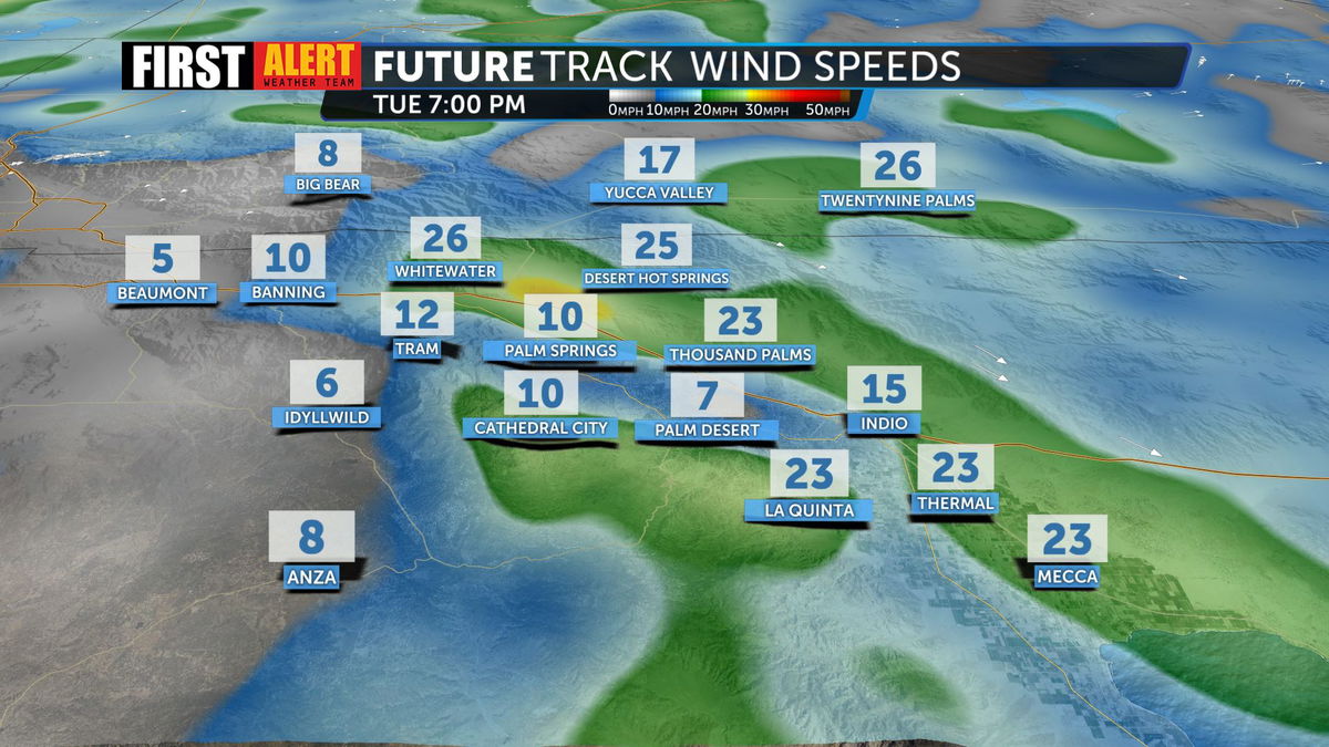
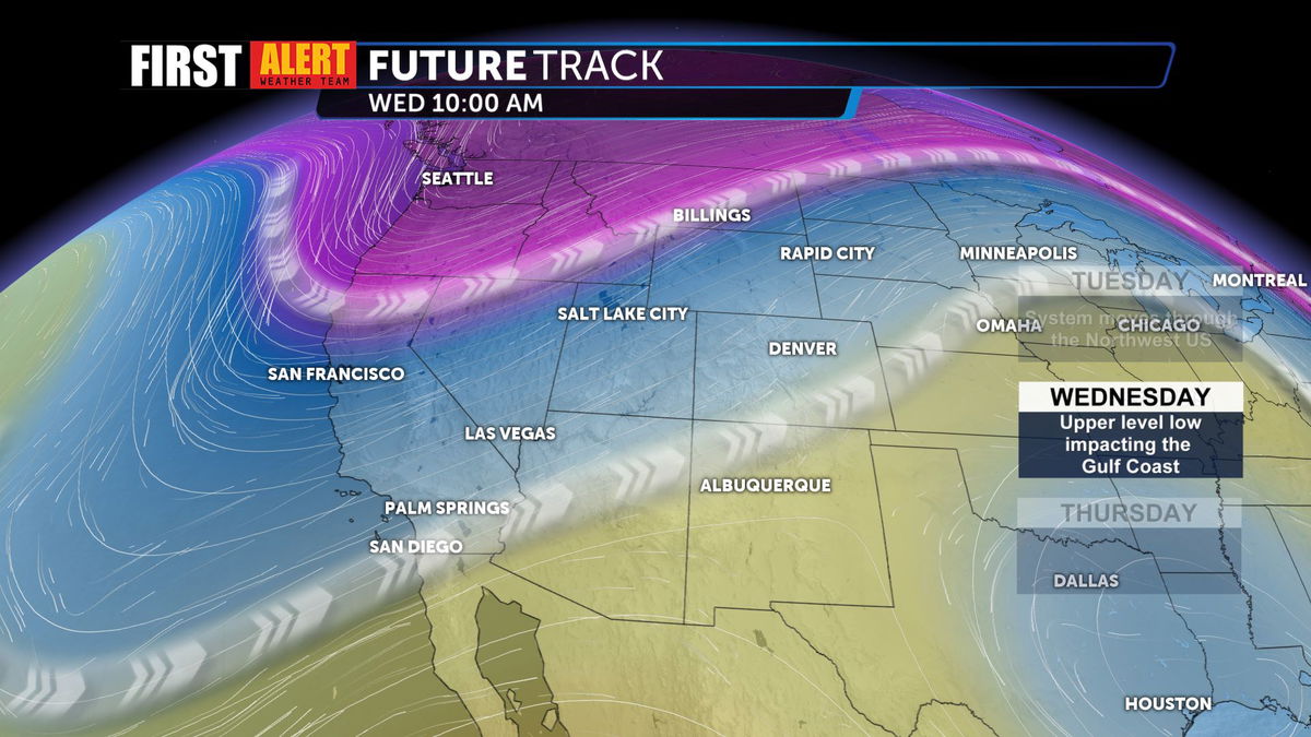
The ridge of high pressure that brought us the heat is beginning to break down and migrate Eastward. With that, a series of weak troughs will push closer to Southern California, increasing winds and cooling us down a bit.

You'll notice gustier conditions beginning tonight and lasting into Thursday.

Highs will drop into the 80s by tomorrow, and linger there through the remainder of the week.

Into the weekend, we'll see the return of the 90s, but should avoid triple digits.

