Above normal with building high pressure through Friday

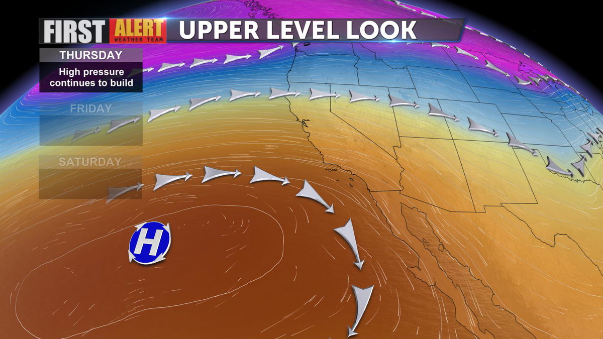
A ridge of high pressure continues to build through Southern California. This ridge is present today and will continue to build through Friday. Temperatures will remain above seasonal normal through the rest of the workweek and through Saturday afternoon as well.

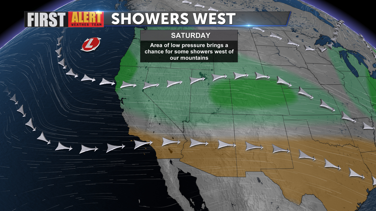
Temperatures will begin to slowly cool down for the weekend as an area of low pressure moves in. This trough of low pressure will bring cooler weather, gusty onshore winds for the mountains and deserts, and some rain chances to the west of our mountains. Rain amounts looking to be light, less than one-tenth of an inch to one-quarter of an inch heading closer to mountain slopes. If you are traveling towards the coast for the weekend this will be something to keep in mind.

There is a potential for National Weather Service to issue a Wind Advisory heading into Saturday. Areas of winds are expected through passes and desert mountain slopes. Winds will be westerly 15-25 mph with gusts reaching near 45 mph.
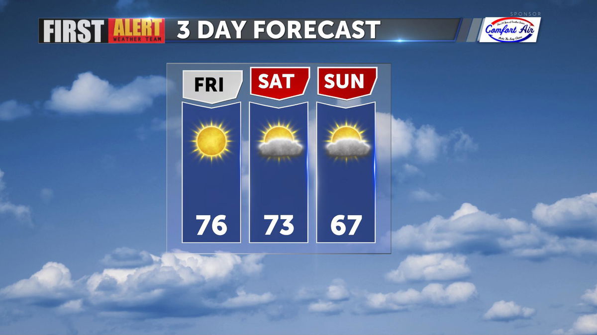
Temperatures are still expected to be comfortable for Saturday before we cool back to near the seasonal average on Sunday through the next week.

