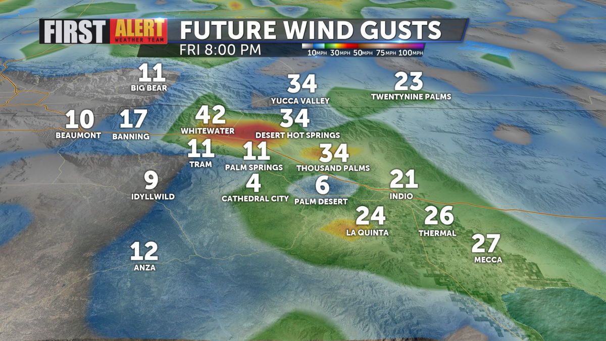
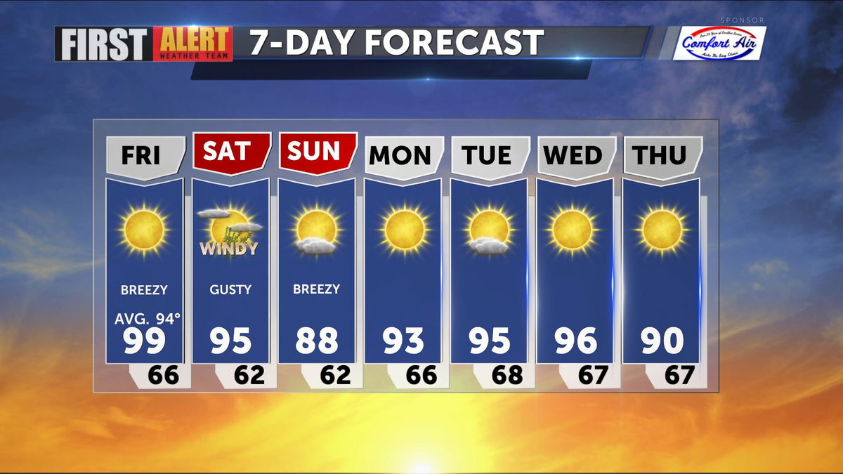
Winds increasing temperatures decreasing
A trough of low pressure will increase winds in the valley, but the dividends we derive will be cooler and drier air in place through the weekend. Gusts up to 35mph are expected tonight through tomorrow, decreasing on Sunday.
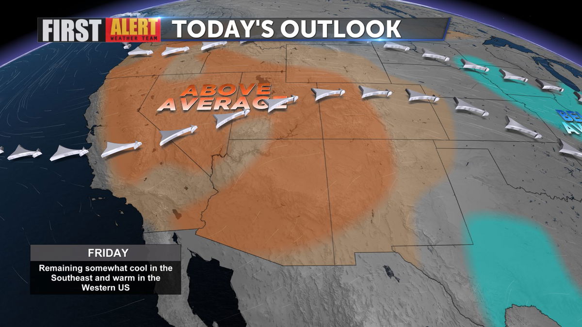
Highs will remain above average today, but drop a bit moving into tomorrow.
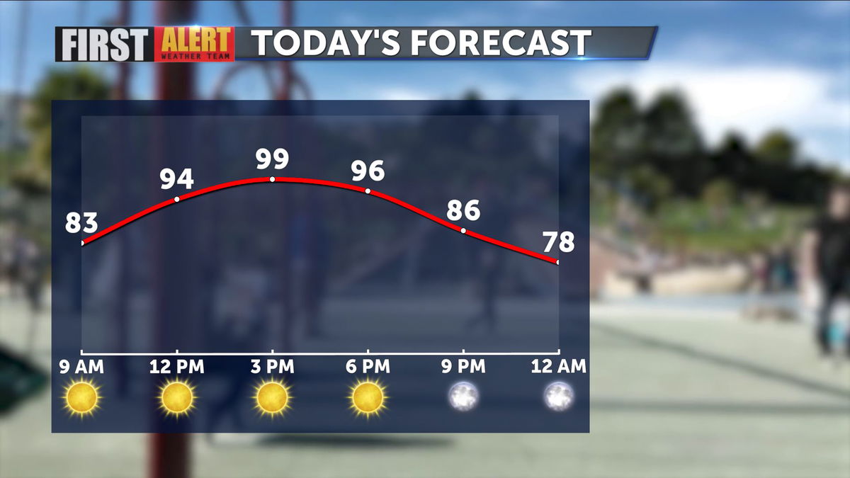
With dew points up a bit, and NW breezes, we should top out just below triple digits today.
The NW winds will also help to dry out the airmass above, decreasing water vapor and humidity values. Water vapor imagery from this afternoon indicates drying is occuring.
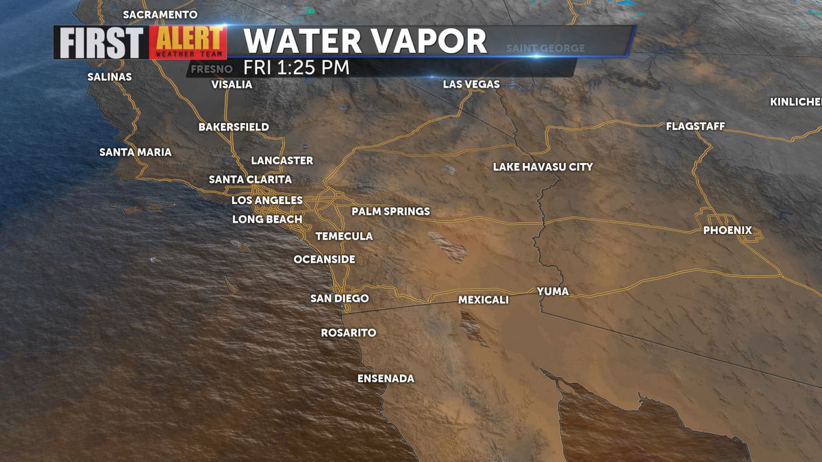
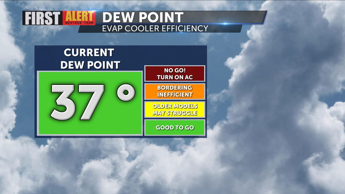
Early in the day, dew points were close to 50 degrees, which makes your evaporative coolers less efficient but have fallen into the 30s, so much drier air is now in place.
Highs by Sunday will be in the upper 80s, with seasonably comfortable conditions expected most of next week.
Keep track of all the latest changes to your forecast with the KESQ First Alert Weather app, available by clicking the image below!
