More humidity to start the week
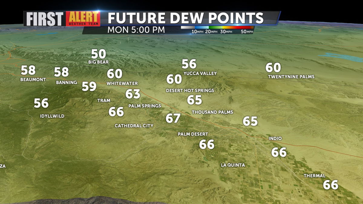
An all-too-familiar forecast to begin the week with highs near seasonal norms, but very high humidity values to go along with the warm conditions. Dew points will hold in the 60s and 70s through today and into tomorrow.

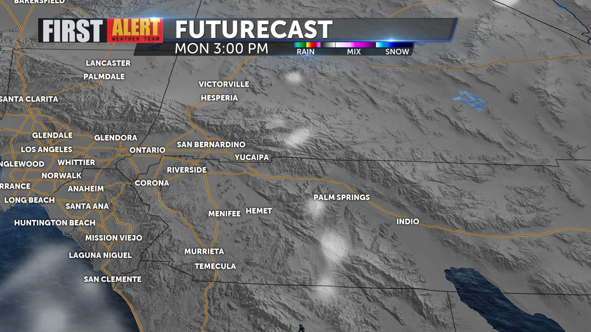
Despite this, the Futurecast data doesn't indicate a lot of storm activity, but it is possible to catch a thunderstorm or shower because of the increased moisture in the atmosphere.

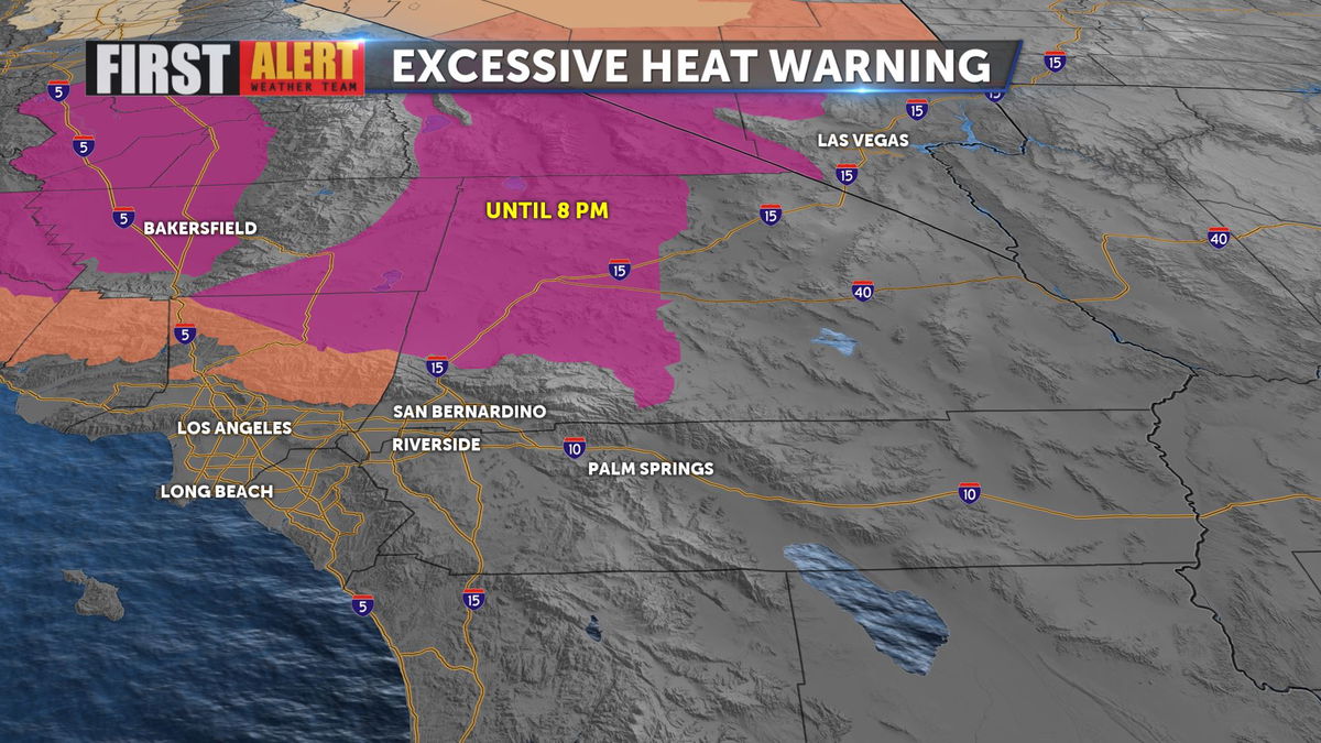
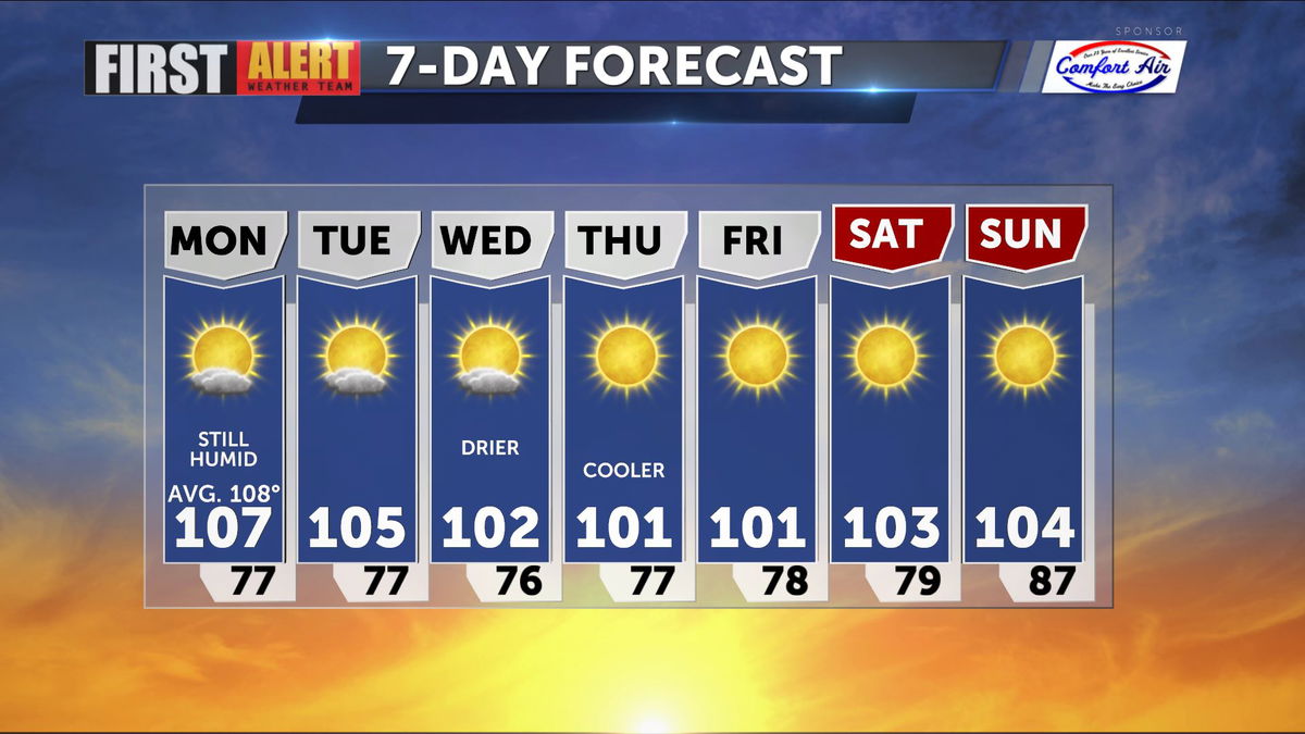
An Excessive Heat Warning remain in effect North of the Valley through this evening and then should expire. Temperatures are slated to cool down into the rest of the week.

Daytime highs AND overnight lows will drop nicely through the weekend, so expect some fairly comfortable conditions by midweek.

