First Alert Weather Alert: Flood Watch in effect through midnight
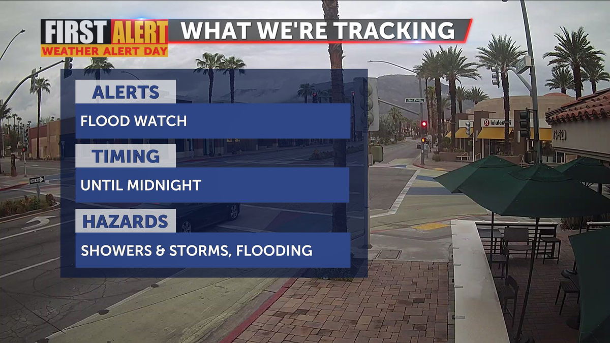
A First Alert Weather Alert remains through midnight tonight as tropical moisture moves through Southern California.

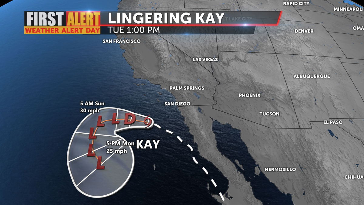
Kay continues to become disorganized, now just a remnant low off the coast, still sending bands of scattered showers across the region. Read the final advisory on this storm from the National Hurricane Center here.

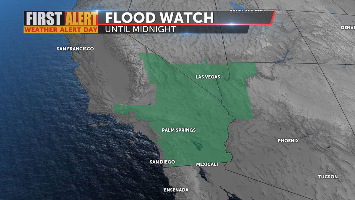
A Flood Watch remains in effect across Southern California until 12:00 a.m. Sunday. Excessive rainfall can lead to the flooding of typically dry creeks, streams, and other low-lying areas. Be prepared to take alternate routes. Chances for thunderstorms are limited for Saturday, given cloud cover overhead. Clearer skies anticipated for Sunday and Monday may allow possible thunderstorm development.

Rainfall totals locally were impressive, ranging from just over half an inch to nearly an inch and a half.
48-Hour Rainfall Totals as of 9:00 a.m. from National Weather Service
- Whitewater - 1.42"
- Morongo Valley - 1.30"
- Palm Desert - 0.91"
- Mecca - 0.87"
- Desert Hot Springs - 0.86"
- Thermal - 0.81"
- Cathedral Canyon - 0.79"
- Palm Springs - 0.53"
Thermal set a new 24-hour rainfall record for Friday, September 9, with a new daily accumulation value of 0.75". The former record of 0.23" was set in 1976.
STAY WEATHER AWARE
Have you downloaded the 'KESQ First Alert' app yet? It's FREE! Click here.

You'll stay up-to-date with the latest weather videos. In addition, be able to monitor the changing conditions from wherever you are!


