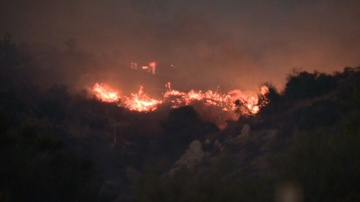
Containment of Highland Fire in Aguanga increases to 40%

Containment of the roughly 2,500-acre Highland Fire in Aguanga increased from 25% to 40% and did not expand today, according to Cal Fire Riverside and the Riverside County Fire Department.
Air operations were officially terminated Thursday, and a temporary flight restriction placed over the fire zone to prevent civilian aircraft from disrupting air tankers and helicopters working the blaze was set for termination at 8 a.m. Friday.
A reconnaissance mission by a Cal Fire helicopter crew Thursday afternoon found no signs of hot spots that threatened to spill outside of the existing burn zone and tentative containment lines.
The fire started about 12:40 p.m. Monday in the area of Highlands and Aguanga Ranchos roads, near the junction of Highways 79 and 371. It has burned 2,487 acres -- a number that hasn't changed since Tuesday morning, according to the Riverside County Fire Department.
A public safety power shutoff -- during which transmission lines are de-energized -- requested by fire personnel during the first hours of the fire along Highway 79 ended at 11:30 a.m. Wednesday, according to officials.
Winds were not a factor Wednesday or Thursday, and according to the National Weather Service, they're forecast to be minimal on Friday.
According to the fire department, firefighters were trying to stamp out flames in ``extremely steep and rugged terrain.''
Thirteen structures, including three homes, were either damaged or destroyed by the fire. More than 2,300 structures were threatened at one time.
GoFundMe accounts were established for those who suffered property
losses. They are at the following links:
-- www.gofundme.com/f/mike-doehr-lost-everything-from-a-wildfire;
-- www.gofundme.com/f/single-dad-of-2-girls-lost-home-to-wild-fire; and
-- www.gofundme.com/f/6vf2y-home-destroyed.
Roughly 4,000 residents were under evacuation orders or warnings. A care and reception center was established for evacuees at Great Oak High School in Temecula.
Evacuation warnings and orders were expected to be lifted starting Friday.
Evacuation orders remain in place for the following:
-- south of Sage Road, north of Cottonwood Creek, between Becker Lane and Boulder Vista;
-- south of Highway 371, west of Sorenson Road and north of San Diego County Line Road;
-- north of David Street, south of Pueblo Road, between Vail Lake Resort and Shirley Way; and
-- south of Highway 79, north of the San Diego County line, between Forest Route 8S07 and Crosley Truck Trail.
Evacuation warnings are in place for the following:
-- west of the Cahuilla Tribal Reservation boundary and north of County Line Road; and
-- north of Cleveland National Forest, south of Watts Road and Avenida Bravura, between De Portola Road and Round Top Canyon Road.
About 1,000 firefighters were working to shore up containment lines.
Road closures remained in effect Thursday on Highway 79 from Vail Lake to the San Diego County line; Sage Road from Highway 79 to Wilson Valley Road; Wilson Valley Road, from Sage Road to Highway 371; and Highway 371, from Highway 79 to Wilson Valley Road.
The blaze started near a residence, but the exact cause was under investigation.


