Cloudier today, more rain ahead
We saw plenty of sunshine yesterday but heavier cloud cover is expected today due to increased moisture.
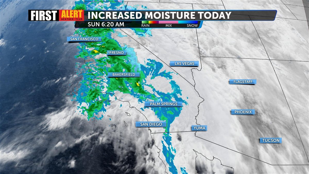
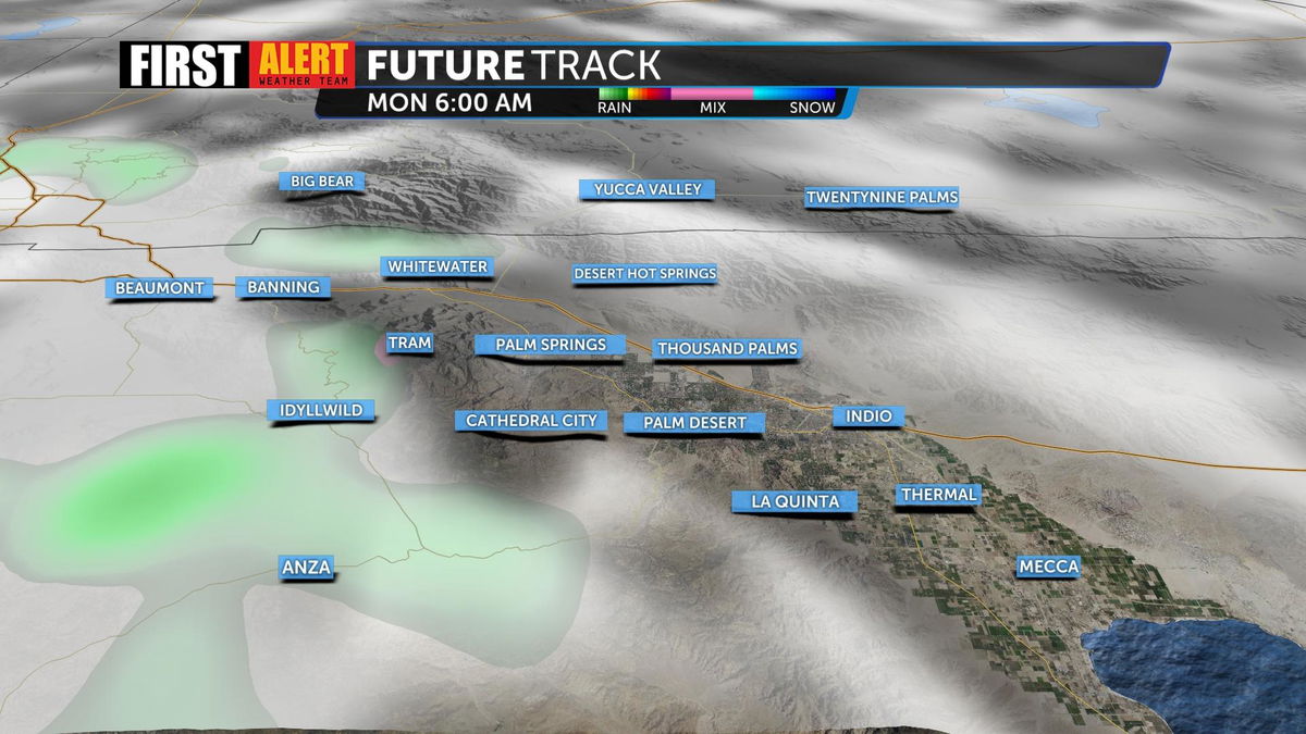
Light rainfall remains possible for our local mountains and for areas west of the valley like San Bernardino today. Rainfall is more likely to develop on the valley floor overnight Sunday through Monday evening. Rain will remain light and scattered as a stronger storm system approaches Southern California.
Heavier and steadier rainfall is expected Monday night into Tuesday. We could see 0.25 to 1 in. of rain on the valley floor in addition to stronger winds.
The National Weather Service has called a High Wind Watch for the Coachella Valley that is set to begin on Tuesday from 1 p.m. through 11 p.m. due to sustained winds between 35-45 MPH and gusts that could reach up to 65-75 MPH.
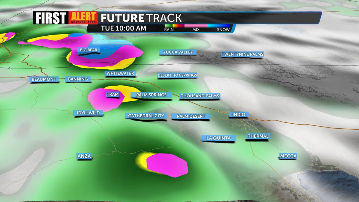
A First Alert Weather Alert has been called ahead of the storm as the team continues to track rain and stronger winds that could create difficult travel conditions and lead to more runoff flooding.
This cold system will also bring heavier snowfall, mainly for the San Bernardino mountains, where mountain communities could see 1 or more feet of snow.
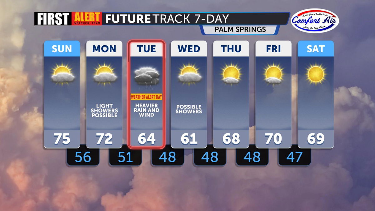
Scattered showers will remain possible through Wednesday before conditions begin to dry out by Thursday. Temperatures will begin to recover through next weekend but are likely to stay 10° below the seasonal average (81°).
