A warm weekend with the return of Santa Ana winds
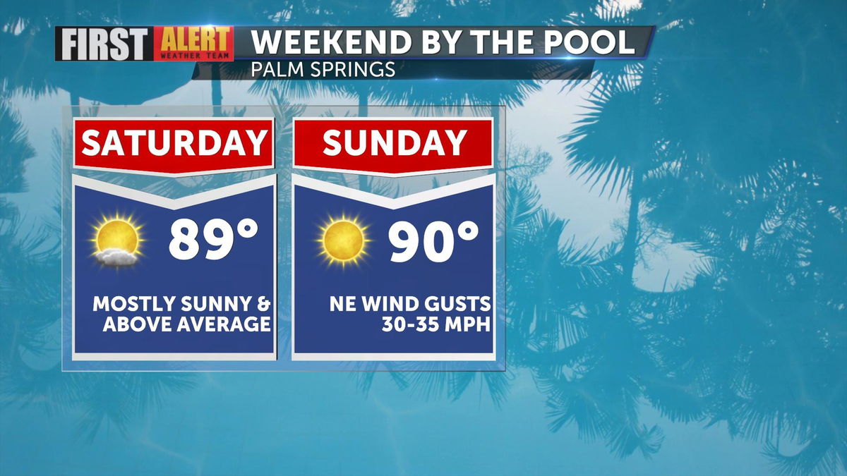
Friday, Palm Springs reached a high temperature of 89°. The average this time of year is 85°. Saturday, temperatures will remain very similar. A trough of low pressure over Southern California will push southeast and make room for a ridge of high pressure building in.

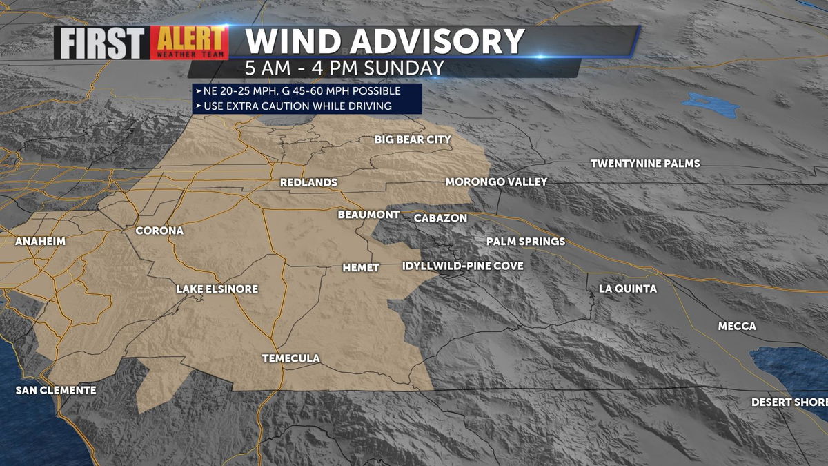
This trough will still keep onshore winds in place Saturday, helping to regulate temperatures a little more, especially along the coast. By Sunday, Santa Ana winds begin to develop. Northeast winds will increase as high pressure expands along the coast and low pressure moves east. Desert winds will be breezy with gusts 30-35 mph being possible. Strongest winds will be through western portions of the Inland Empire and parts of Orange County.

A Wind Advisory goes into effect for these areas 5 a.m. Sunday - 4 p.m. Sunday. Gusts in the advisory could reach up to 60 mph. Conditions will also be dry with humidity reaching near 10%. This causes concern for elevated fire danger during the afternoon hours when winds are strongest. If a fire is ignited, these conditions are favorable for the fire to spread quickly.

As Santa Ana winds develop, temperatures will warm. The weekend will remain above average. The warmest day for the following week comes Monday with highs in the upper 90s.
By the middle of the coming week, another trough of low pressure will bring some subtle cooling and the return of some potentially breezy winds Wednesday and Thursday.
