Tour de Palm Springs map and road closures
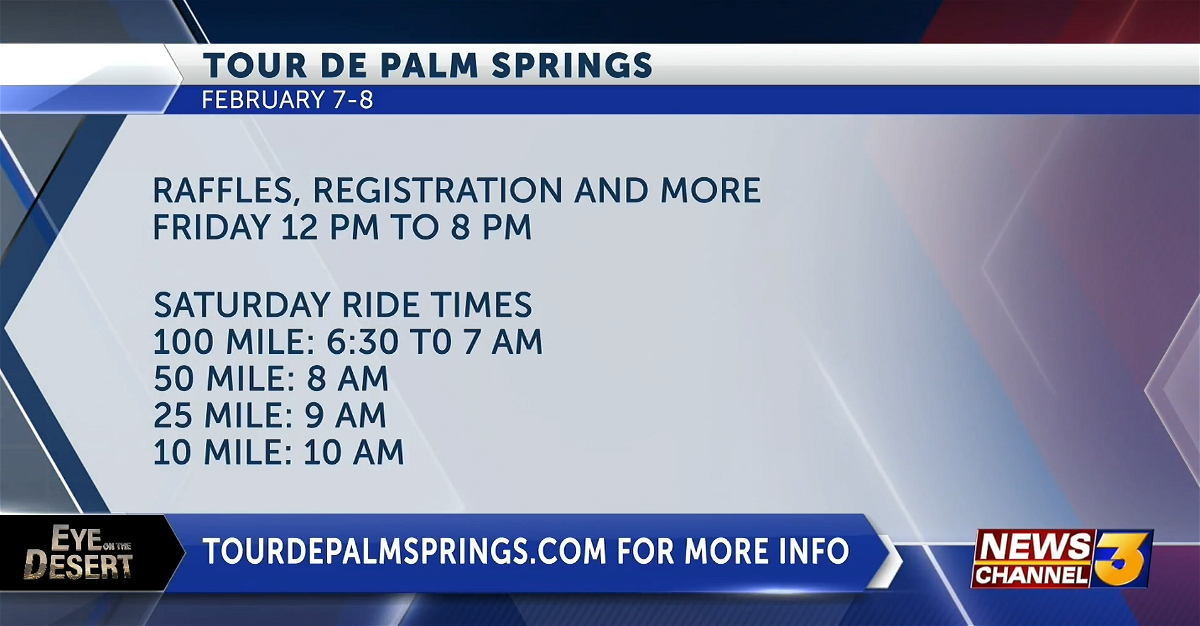
The Tour de Palm Springs is this weekend.
With thousands of cyclists expected to participate, several roads will be closed between Palm Springs and Desert Hot Springs along the 51-mile route.
The fun rides start at 6:30 a.m. Saturday on N. Indian Canyon near W. Amado Road.
Check out an interactive GPS map of the Tour de Palm Springs.
In Palm Springs, Palm Canyon Drive between Tahquitz Canyon and Amado Road will be shut down from 6 a.m. to 7 p.m. on Friday and Saturday.
On Saturday only, Tahquitz Canyon Way between Indian Canyon Drive and Belardo Road, will be off-limits to vehicle traffic from 6 a.m. to 6 p.m.
Northbound Indian Canyon Drive from AmadoRoad to Vista Chino will be reduced to one lane from 6 a.m. to 10 a.m.
The Desert Hot Springs Police Department advises drivers to use extreme caution while driving on the streets that are on the bike route(s). Cyclists will be riding on Worsley Road, Pierson Boulevard, Indian Canyon Road, Dillon Road, and Palm Drive.
The Tour de Palm Springs draws between 6,000 to 10,000 cyclists every year, according to organizers.

For more information, visit www.tourdepalmsprings.com.