Coolest day of the month
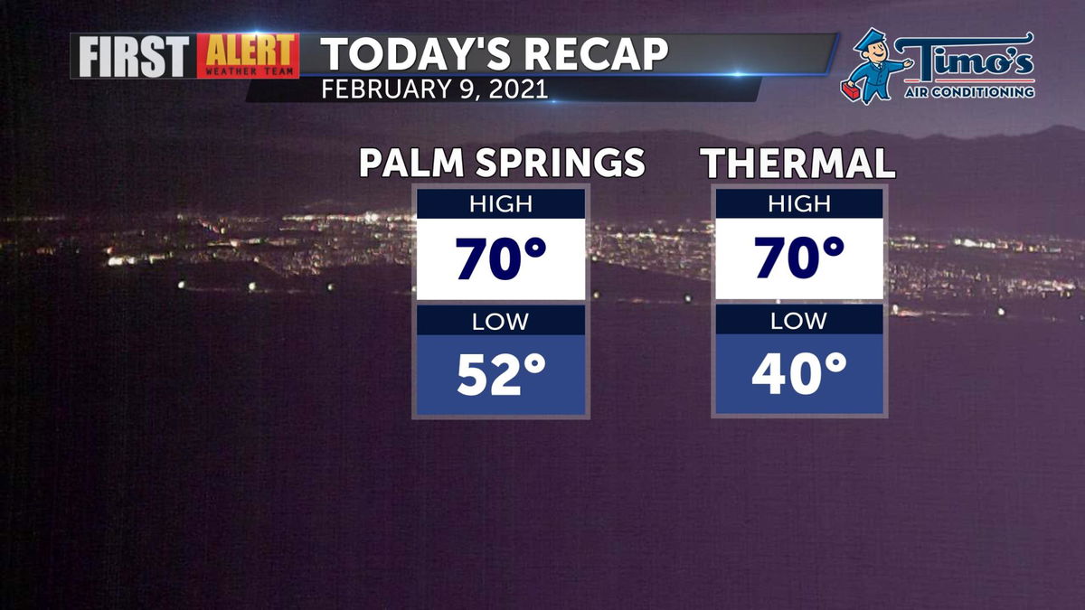
A cloudy day in the desert kept temperatures down. This Tuesday has been the coolest day of the month with a string of above-normal temperatures leading up to it. High temperatures across the valley peaked in the low 70s.

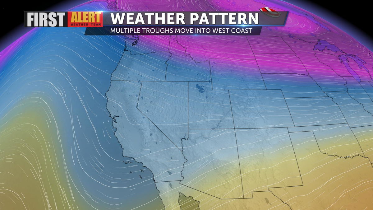
The first trough of low pressure of the week is moving inland. It's responsible for all of the cloud cover today and will increase onshore flow into Wednesday.

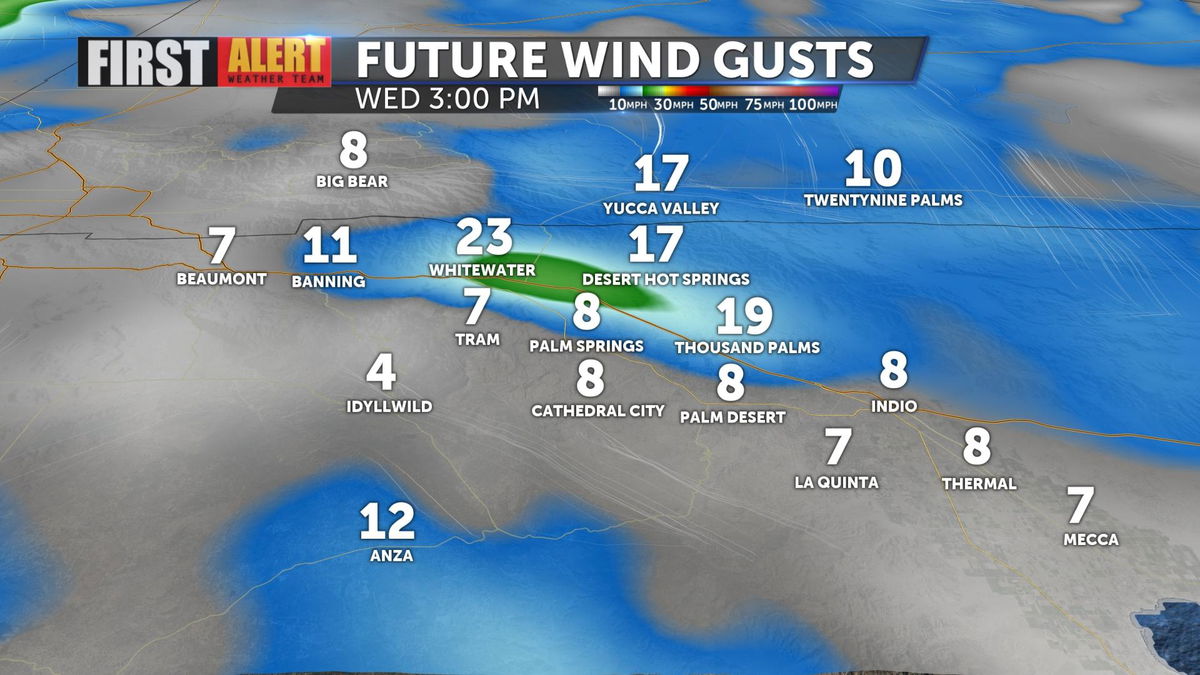
Breezy conditions can be expected through the pass and in more wind-prone areas of the desert but not overly gusty.

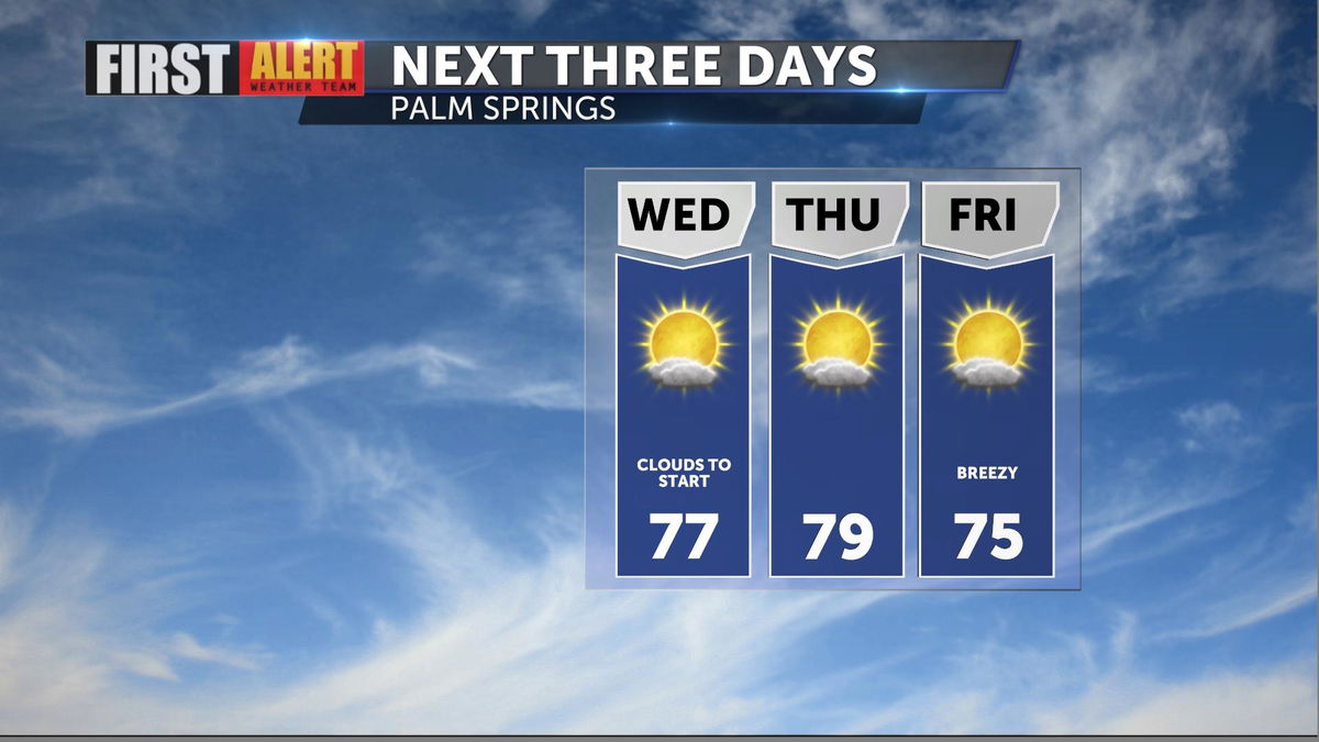
Wednesday will provide a much warmer day in the desert. Clouds will be with us to begin the day but will clear to reveal blue sky for the afternoon.

The second trough of the week arrives Friday and will likely bring stronger west winds to the San Gorgonio Pass. The third waits until the weekend and looks to be the strongest and wettest, though accumulation would be minimal, if any, in the desert. Check back daily for updates!
Have you downloaded the 'KESQ First Alert' app yet? It's FREE! Click here.

You'll stay up-to-date with the latest weather videos. In addition, be able to monitor the changing conditions from wherever you are!
