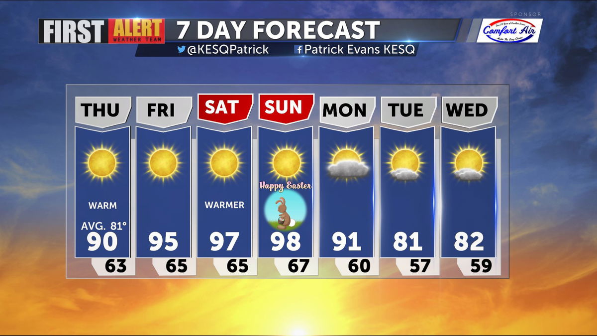
Warming Trend takes us into the Weekend
The Jet Track is climbing well to the North, and high pressure is building into the Western States, making for a hot Easter Weekend here in the Valley.
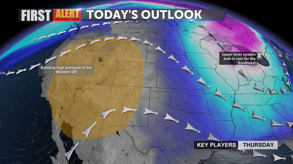
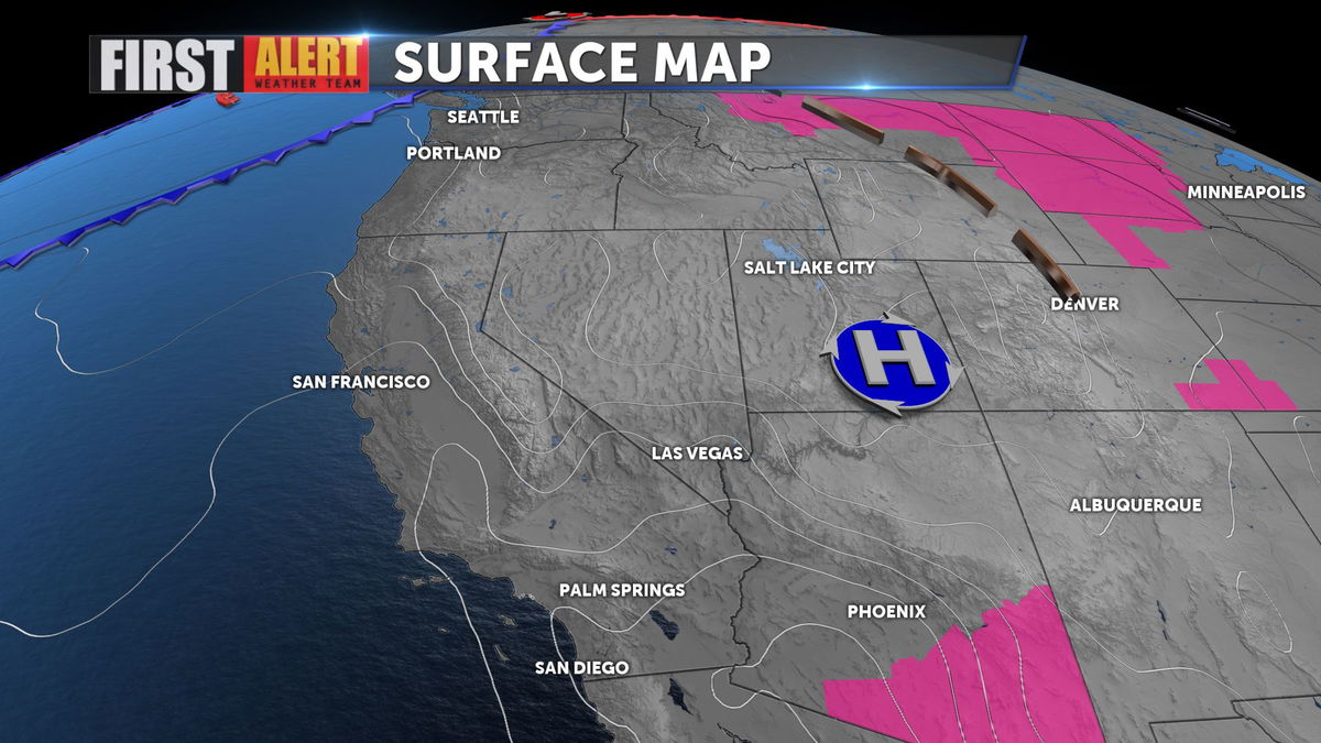
That ridge of high pressure will push temps into the upper 90s through Easter Sunday.
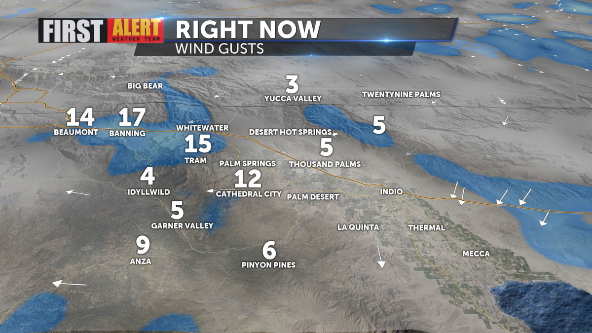
Offshore winds have eased significantly, but it will remain a bit breezy through the San Gorgonio Pass.
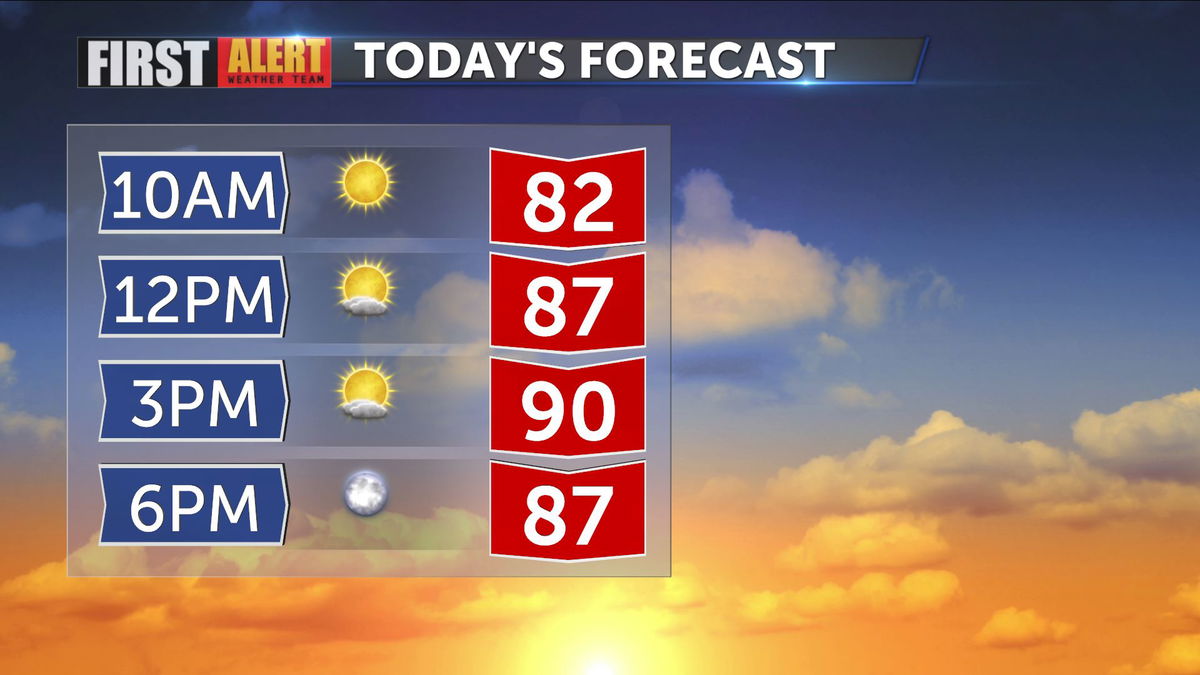
Highs this afternoon will reach the 90 degree mark, but we'll see a jump in temps into Friday and Saturday.
Easter will be the hottest day of the week (and likely the hottest day of the year thus far) but it likely won't set a record. Breezy conditions Monday will return temps closer to normal by early next week.
