Staying 5°-10° above average temperatures

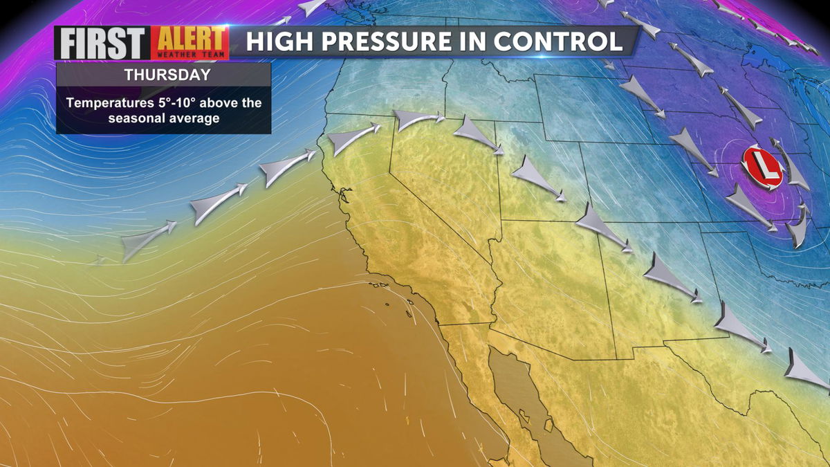
Southern California remains under a building ridge of high pressure. This region of high pressure will continue to warm up temperatures into the weekend.

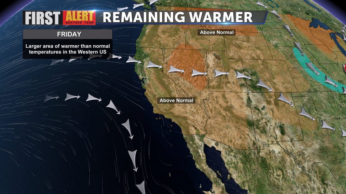
Temperatures today have stayed between five and ten degrees above the normal. Heading into Friday, temperatures will be very similar.

In fact, more of the western United States is expected to experience warmer than normal temperatures heading into Friday.
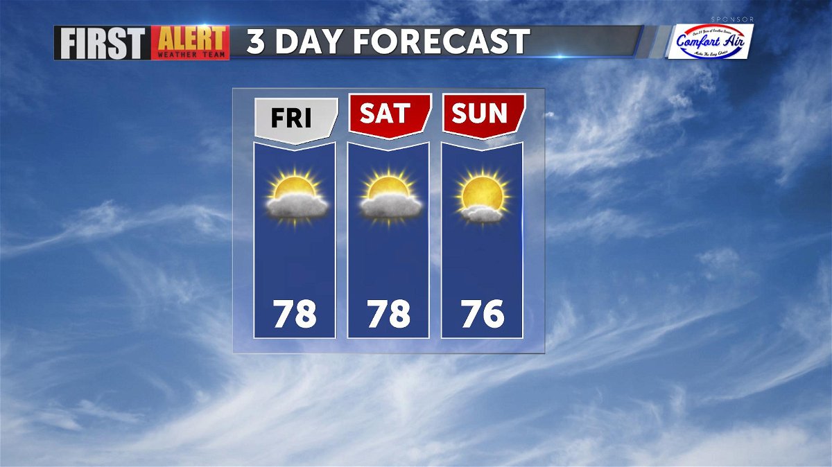
These warmer temperatures will carry on into the weekend and into next week. A weak trough of low pressure moves in Sunday. This will allow for a few degrees of cooling, but temperatures will still remain above normal through this time. On Sunday, when this trough moves in, there will also be some areas of gusty westerly winds for our desert and local mountains. These gusts will be between 25-35 mph. By Monday, another ridge of high pressure will build and temperatures will see another warming trend through next week.

Overall, we can expect the above normal trend in temperatures to carry on through the weekend and next week.
