Major changes on the way
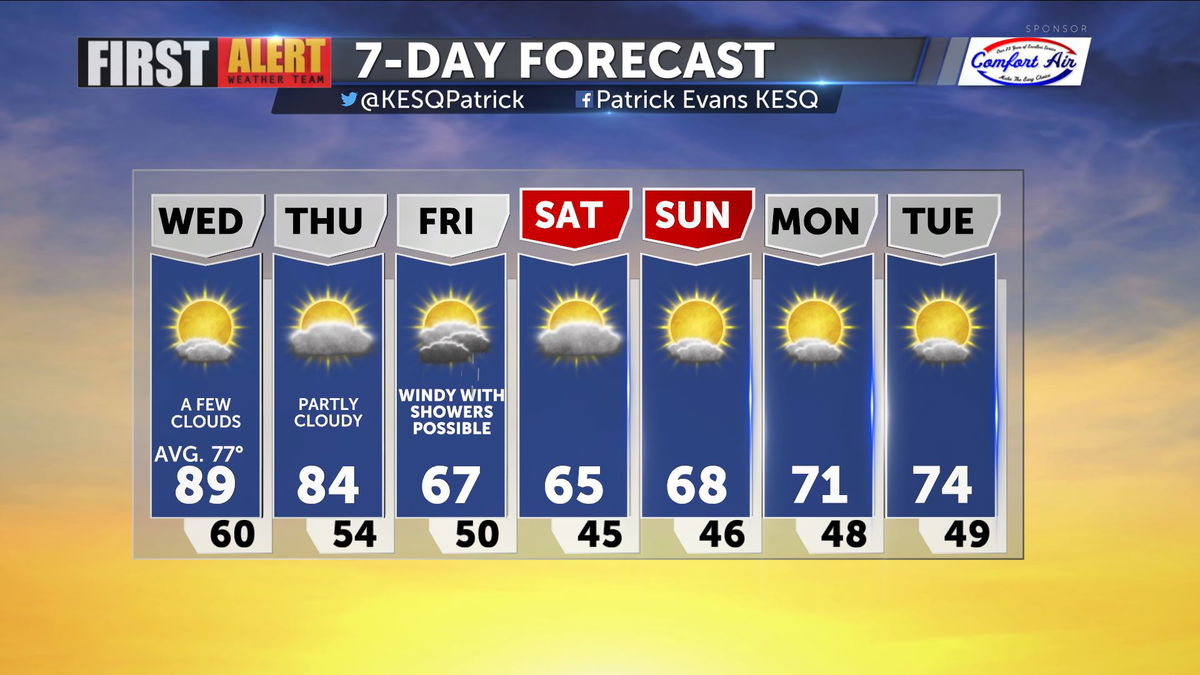
After yesterday's record setting pace we're in for another warm afternoon in the Valley (though not quite as warm as yesterday).

High pressure remains in place, so highs will span the upper 80s today, just below record levels.

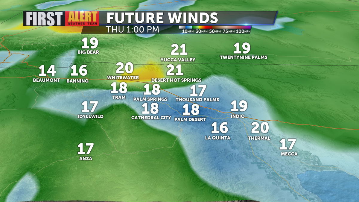
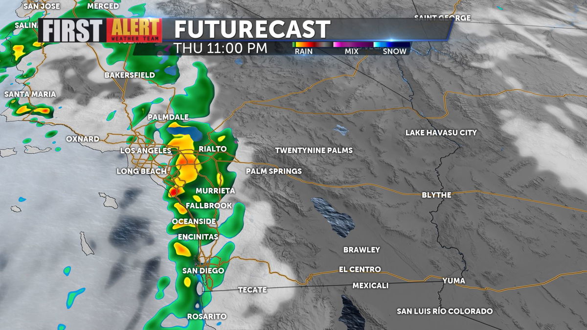
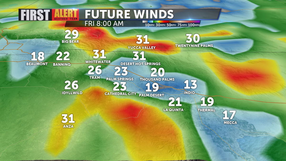
The front to our north will arrive overnight Thursday, increasing winds and bringing a solid chance of showers and thunderstorms as we move into Friday.


By Friday the chance of showers and storms climbs to 60% and winds increase.


The amount rain expected is minimal, but every drop is important as we continue under drought restrictions throughout California.

The other major change will be temperatures, with a marked drop in daytime highs from Thursday to Friday, with below average temps lingering into next week.


