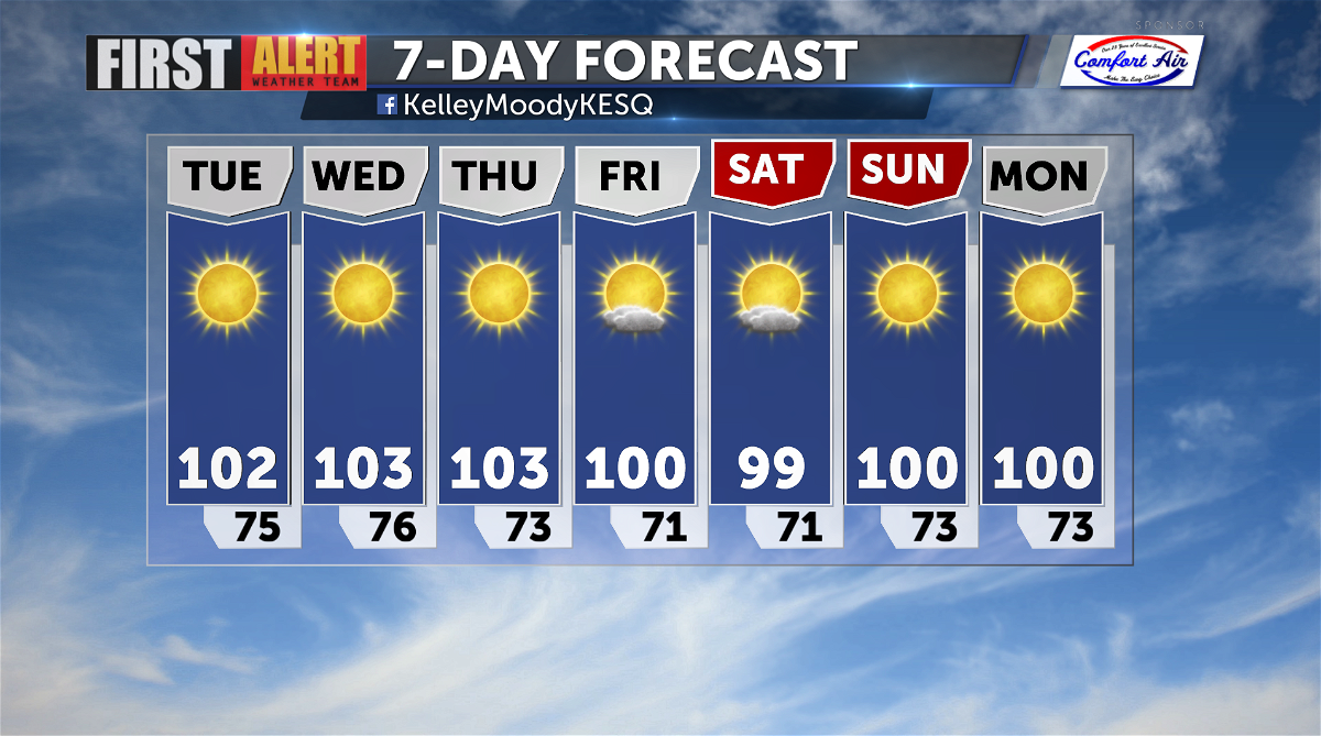
100°+ temperatures this week
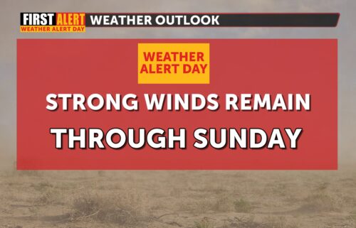
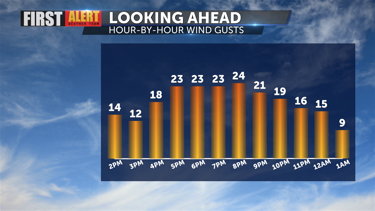
Our focus is shifting from gusty conditions to warmer temperatures. Winds will still remain breezy for wind-prone areas. Peak wind gusts for the Palm Springs area are likely to stay between 20-25 mph in the early evening. Stronger gusts can be expected through the San Gorgonio Pass, and weaker winds can be expected for areas farther south of I-10.
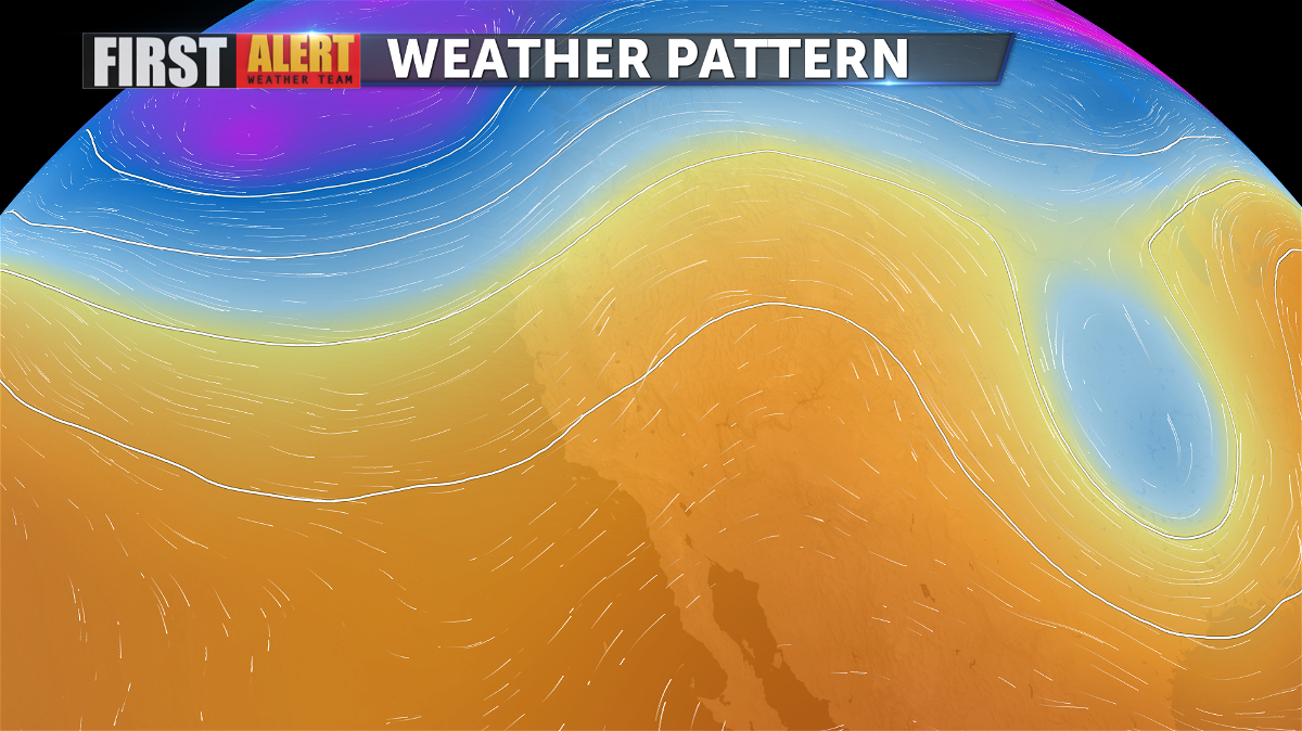
As low pressure moves east, a ridge of high pressure builds over the regions. Temperatures will warm to the triple digits over the next several days, and conditions will remain dry. Winds generally look to stay calm for much of the upcoming week.
While the warmest days of the week will likely be Wednesday and Thursday, there isn't much change in temperatures over the upcoming forecast period. A trough of low pressure will move in toward the end of the week, creating slightly cooler and breezier conditions getting into the weekend. Overnight low temperatures will stay in the 70s.