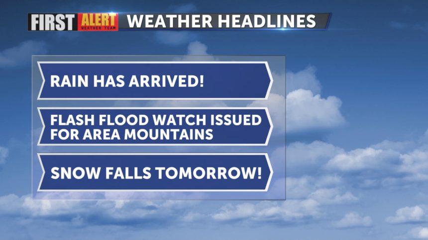
Multiple systems bring rain, snow and colder temperatures
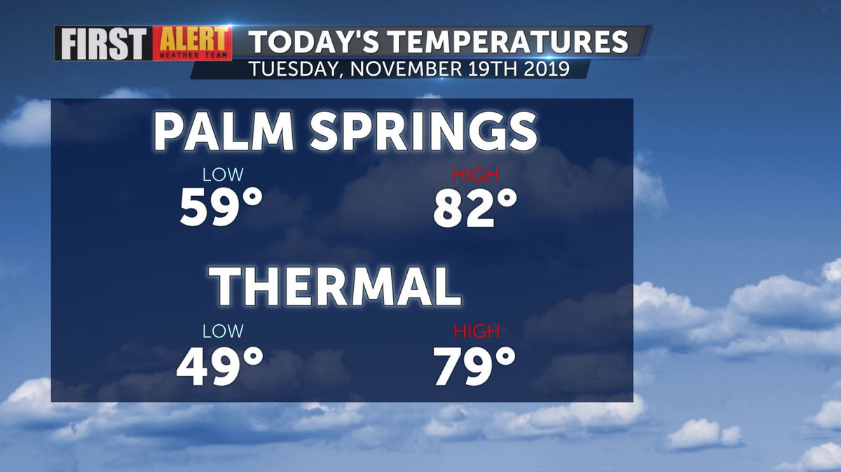
The cooldown has commenced! Palm Springs was seven degrees cooler today than yesterday thanks to the weakening of the ridge of high pressure and an abundance of cloud cover.
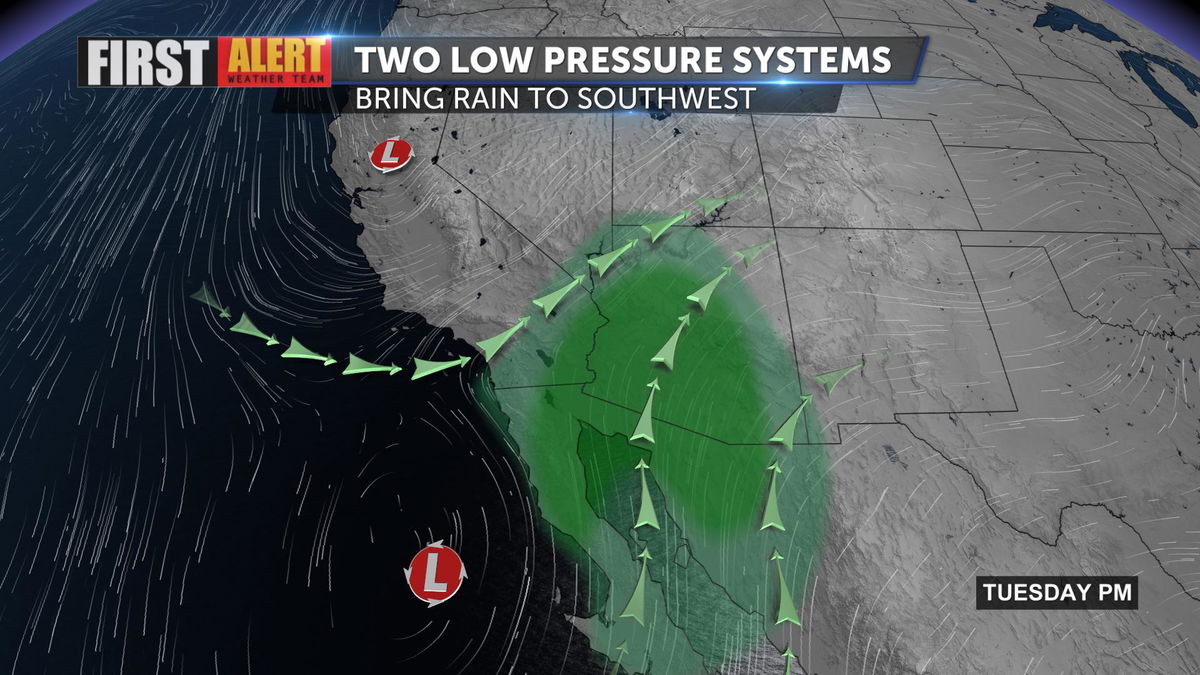
The system providing the clouds in just one of two low pressure systems that will bring notable changes to Southern California through Thursday.
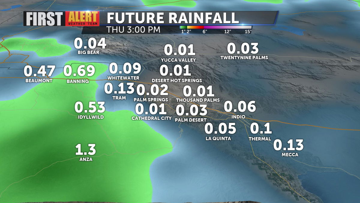
While the valley floor isn't expecting much accumulation, a little bit is still a lot more than what we've had lately. Today would be the 78th day Palm Springs International Airport has not recorded any measurable rainfall.
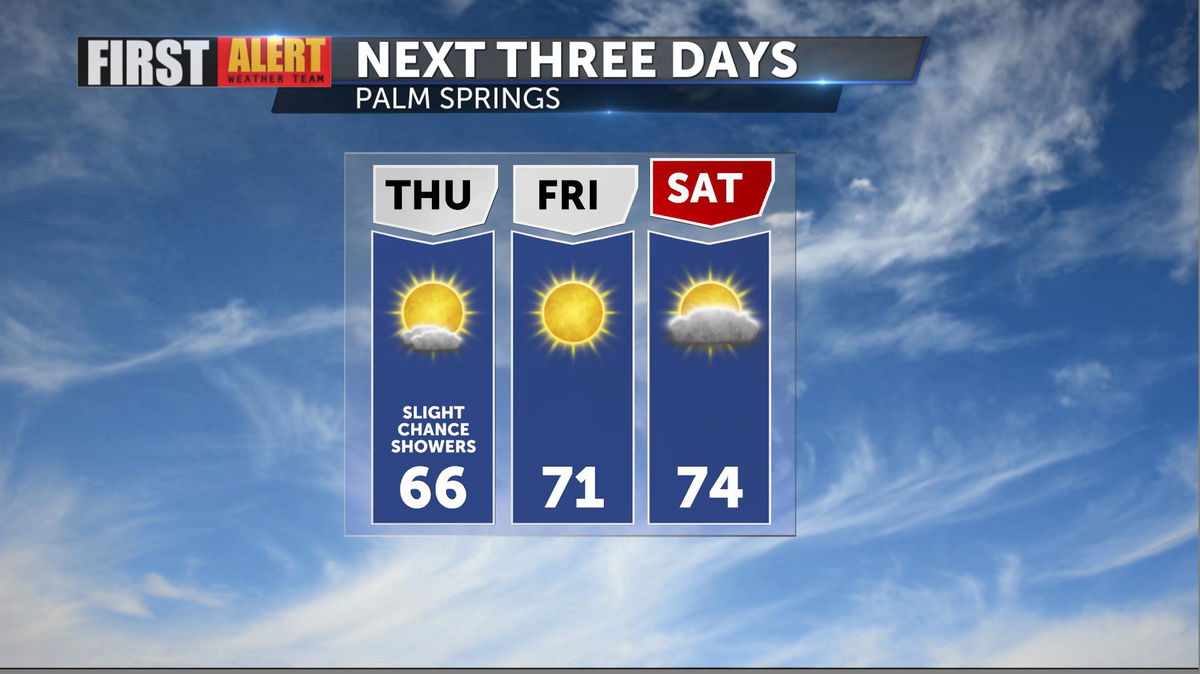
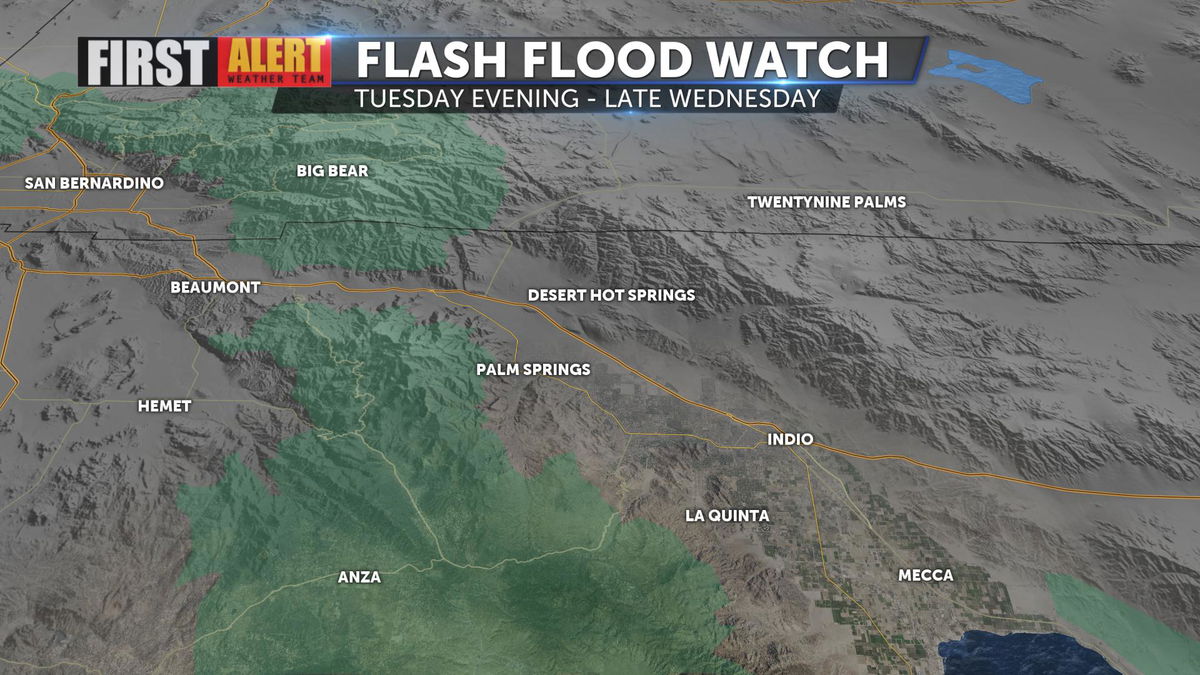
Higher rainfall totals are anticipated for the area mountains and a Flash Flood Watch has been issued for the threat of urban flooding from runoff of potentially heavy rain at times.
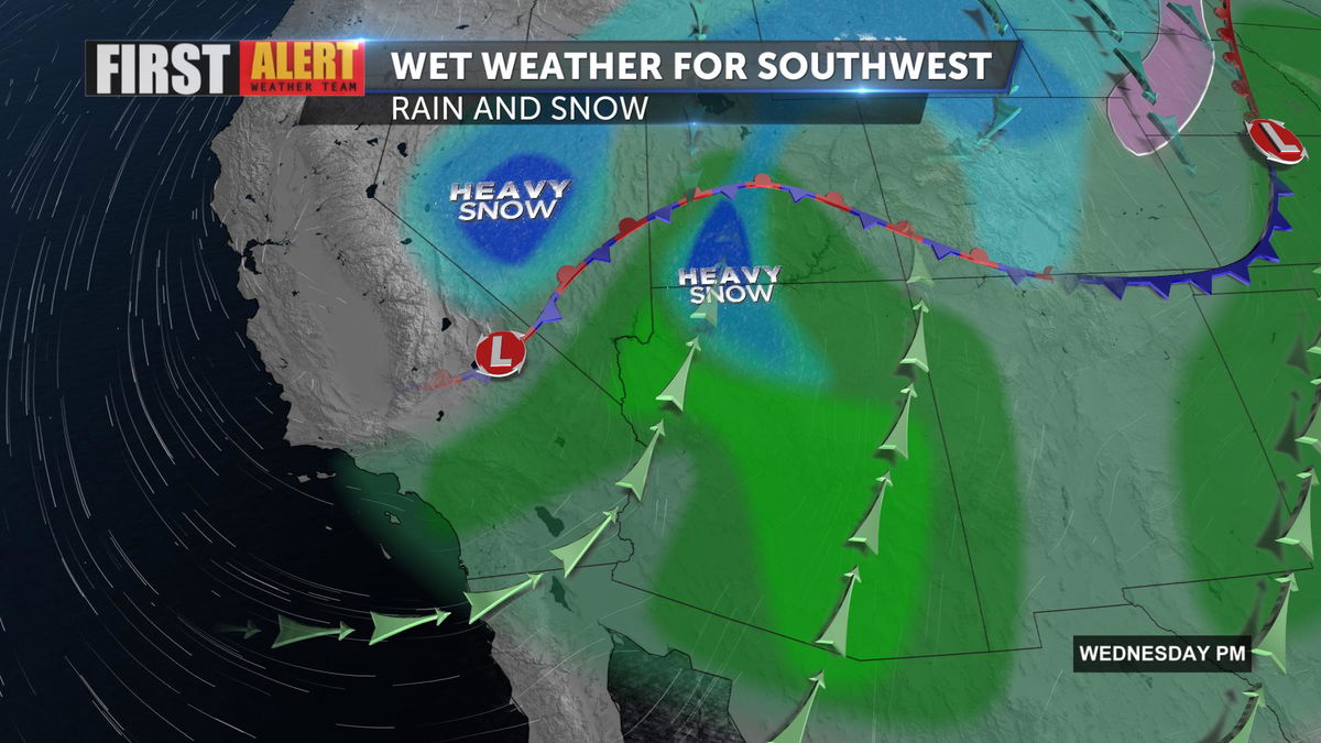
A Winter Storm Warning will go into effect for San Bernardino and Riverside county mountains Wednesday morning as cold air makes its way into Southern California, dropping snow levels to 5,000'. Up to a foot of snow is possible on the highest peaks.
Enjoy the cooler temperatures with highs in the 60s Wednesday and Thursday. Temperatures will gradually warm into the mid-70s by Saturday.