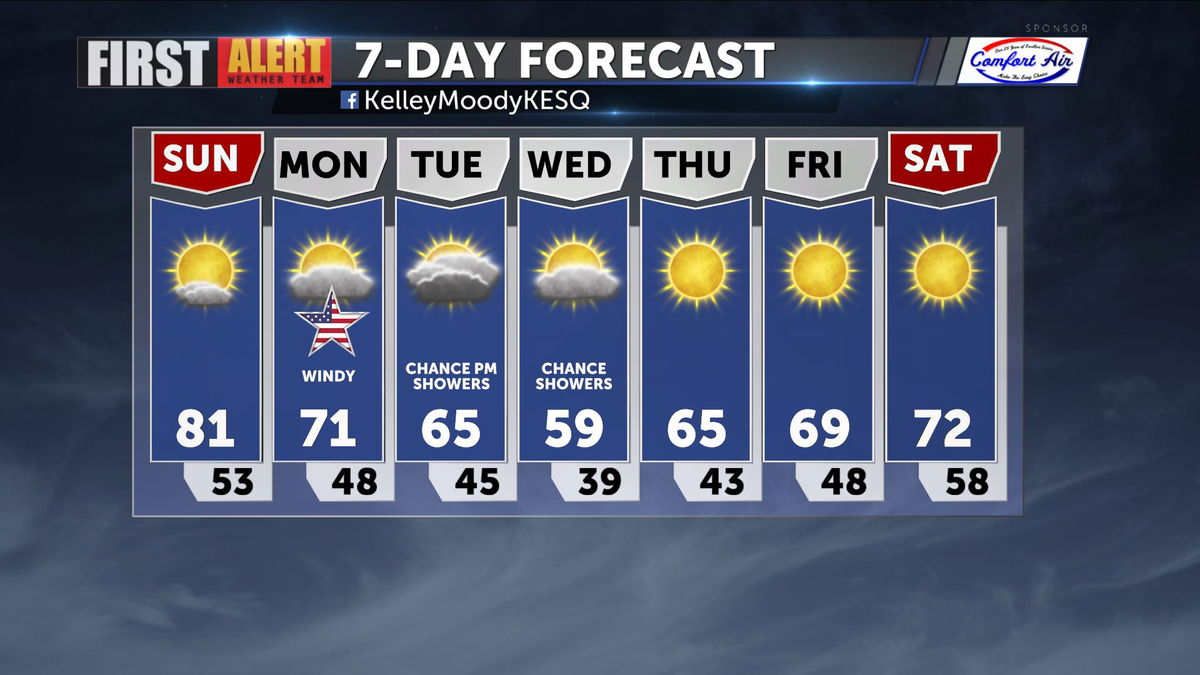
Calm before the next storm system
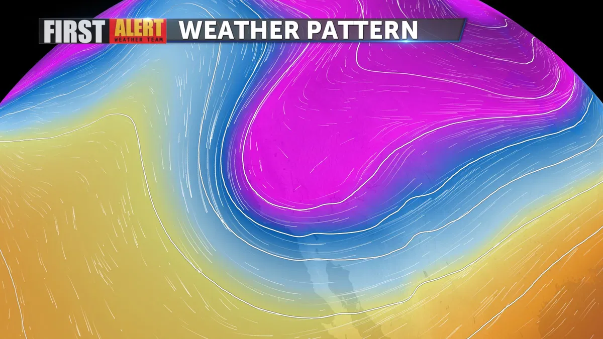
Warm, mild conditions will continue into Sunday. Daytime high temperatures will likely reach the low 80s again with mostly sunny skies. Changes start to arrive by Sunday evening, as a trough of low pressure reaches down to Southern California and fixes itself over the region through the middle of the upcoming week.
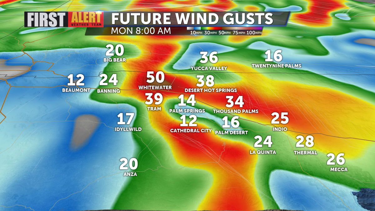
So far, the primary local impact of this shift in the atmosphere will likely be strong winds. Gusty conditions will likely result in windblown dust and reduced air quality across the Coachella Valley, especially on Monday. Here's a peek at how winds are expected to shape up on Monday morning. They will likely remain strong throughout the day.
Following strong winds on Monday, chances for rain increase across Southern California. While it's unlikely we will see much widespread rain locally, we may see snow showers at lower elevations for our local mountains. Rain chances start Tuesday afternoon and continue through Wednesday.
Temperatures fall 15-20° below normal in response to the influx of cool air. We will gradually warm back to the low 70s by Saturday.