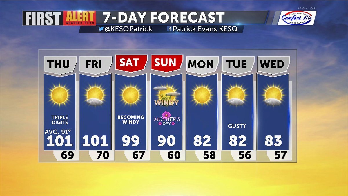
Triple digits return to the Valley
A ridge of high pressure will control the weather for the next few days, taking highs into the lower 100s.
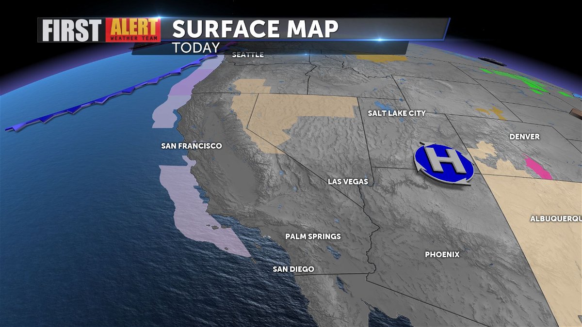
We will continue to see dry and hotter than normal conditions through the period, with dew points in the 20s and 30s.
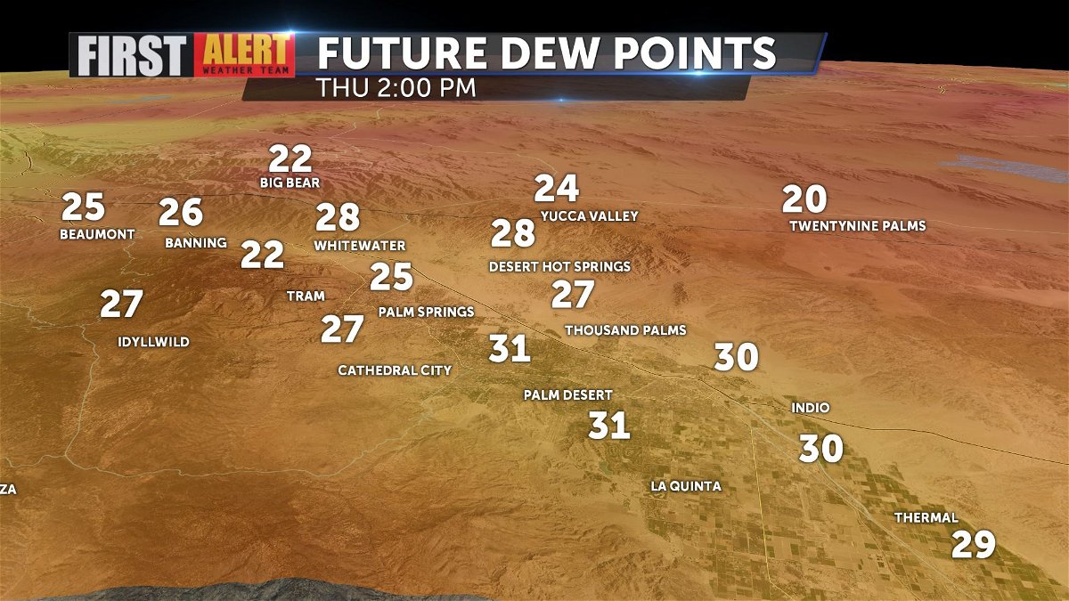
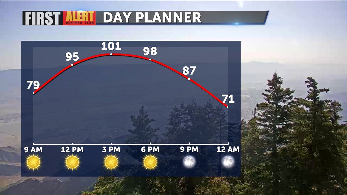
That means your evaporative coolers will be very efficient. Highs today should top out at 101, besting yesterday's 97.
The heat will persist into Friday and Saturday before breaking down into the weekend.
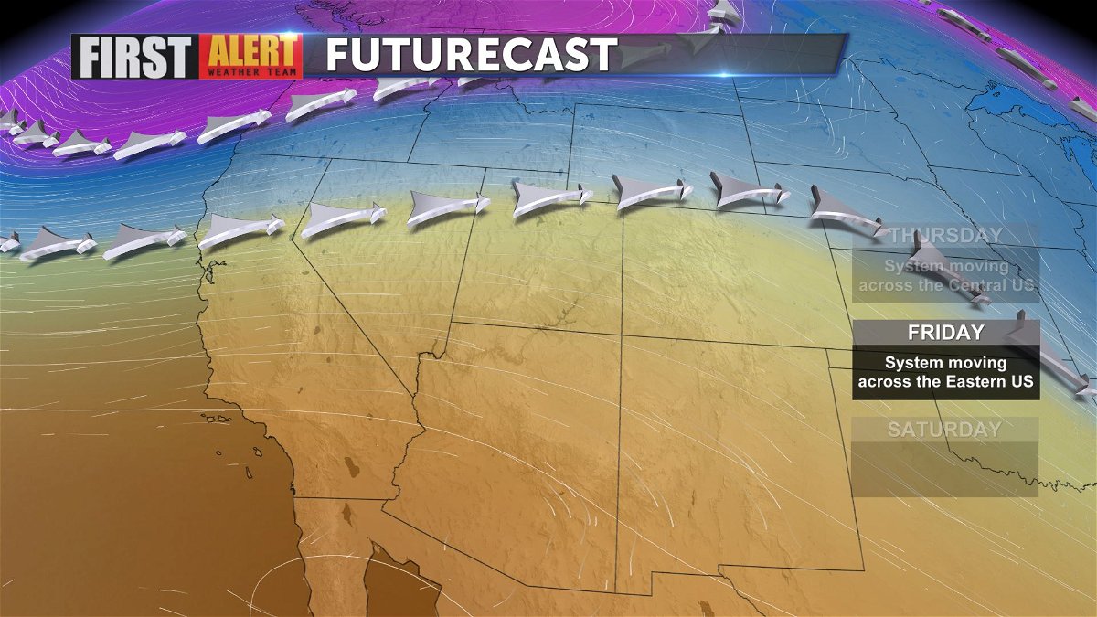
Gusty winds will mark Sunday and early next week, with areas of blowing sand and dust as gusts hit 35mph on the Valley floor. Highs will fall into the 80s by early next week due to those gusty NW Winds.
