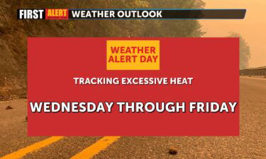
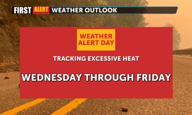
Skip to content Skip to Content

KESQ Weather

Warming trend continues, cooler by next week

A ridge of building high pressure will continue to send temperatures above the seasonal average (107°) through Tuesday. Temperatures are expected to exceed 115° during this time. The National Weather Service has issued an Excessive Heat Warning for the Coachella Valley from 10 a.m. Monday until 8 p.m. Tuesday due to the potentially dangerous heat. Cooler temperatures

Continue Reading

Less humidity, more heat

Today we should see dew points and humidity readings start to dry up a bit heading into the weekend as monsoonal flow moves farther east. By this evening, it should feel less muggy out there. Temperatures remain fairly close to our seasonal averages through the weekend, but we are expecting a warm-up into next week.

Continue Reading

Heating up this weekend

We’ll continue to see some elevated dew points through this afternoon with a bit of monsoon moisture slipping in from the East. Today highs will be near yesterday’s number of 107, with warmer numbers on the way into the weekend. Today also marks the first day back to class for students at C. V. U.

Continue Reading

Gradual drying today

The dew points remain elevated, but are slowly recovering, but the humidity will linger after Hilary. With all the mud and dirt drying out, you’re likely to see a lot of dust over the next few days. So far air quality remains in the “GOOD” range, but may deteriorate as the clean-up continues. Thunderstorms continue

Continue Reading

Adding heat to the humidity

An Excessive Heat Warning will be in effect from 10 a.m. today through 8 p.m. tomorrow as temperatures climb above 110. A Heat Advisory is also in effect for the Inland Empire and San Diego County inland valleys. This is coupled with monsoon moisture that continues to flow in from the Southeast. A bigger surge

Continue Reading

Drier conditions today after yesterday’s monsoon moisture surge

Drier conditions are expected for the start of the work week after yesterday’s high elevation thunderstorms. A surge of monsoonal moisture and warm temperatures created the perfect opportunity for thunderstorm development. Thunderstorm activity was mostly reserved for local mountains and high desert communities but light rainfall did spill onto the valley floor as well. Here

Continue Reading

Another humid day

Dew points remain elevated today but should start to dry out by tomorrow. An area of low pressure, coupled with high pressure well to the East, is funneling in the moisture from our South. That low will continue hanging off the coast through tomorrow. Highs start to warm a little heading into the weekend and

Continue Reading

Humidity lingers

Dew points will remain high through tomorrow, making it feel less comfortable out there. FutureTrack date indicates a small chance of showers and thunderstorms around the region into this afternoon. The humidity will keep daytime highs subdued through tomorrow before we start to warm up a bit by Saturday. Expect periods of monsoon moisture off

Continue Reading

Humidity has arrived

The dew points and humidity values are up, and will stay that way through Friday. A moisture laden air mass is moving up from the South and will linger through the week. Highs will be slightly subdued thanks to the increased moisture levels. There is a small chance of thunderstorms around the region, particularly in

Continue Reading